Subject: Exploration and Surveys
Period: 1854 (published)
Publication:
Color: Black & White
Size:
6.2 x 9.7 inches
15.7 x 24.6 cm
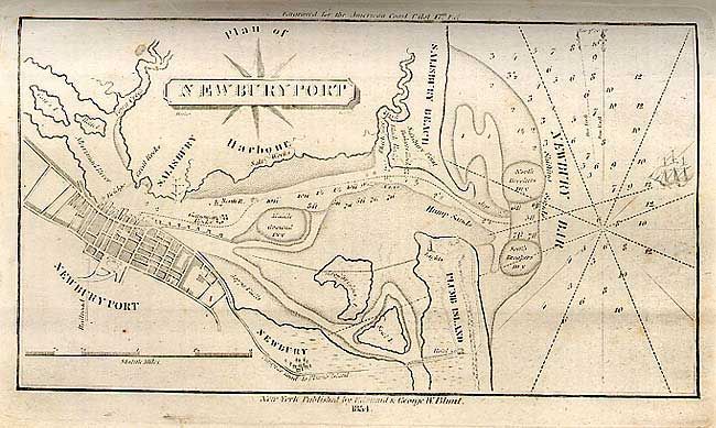
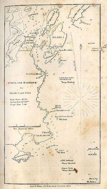
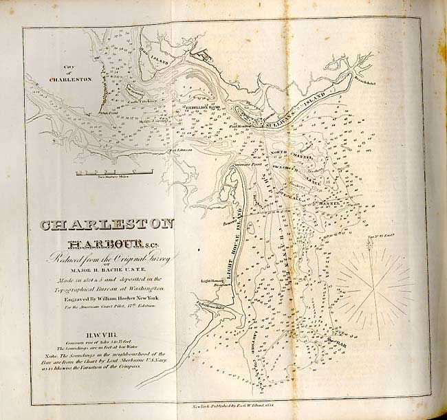
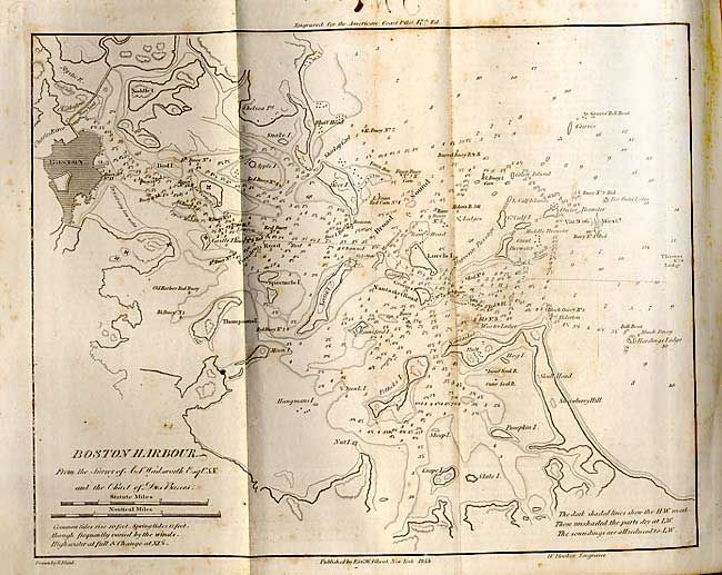
A detailed guide to harbors, which include Boston Harbor, Pensacola, Charleston, and Newport, capes and headlands on the east coasts of North and South America including information on winds, currents, tides as well as latitudes and longitudes. Seventeenth Edition. 679 pp., 19 plates and maps. Hardbound in original full calf with gilt lettering on spine, generally a tight copy. All maps are intact and only one of the Gulf Stream has a tear, a couple have some erasable pencil marks. All with light scattered foxing, more to Long Island Sound that also has a soft crease.
References:
Condition: B
Binding worn and scuffed with small wormholes in lower spine. Inked initials on fore edge. Water stains, pencil marks and spots throughout. Several owners initials in manuscript within book and on verso of most maps/plates.