Catalog Archive
Auction 104, Lot 565

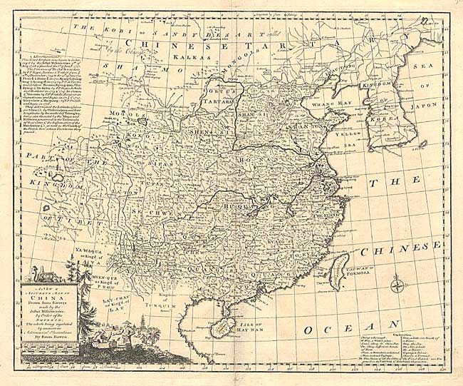
"A New & Accurate Map of China Drawn from Surveys made by the Jesuit Missionaries, by Order of the Emperor…", Bowen, Emanuel
Subject: China

Period: 1747 (circa)

Publication:

Color: Black & White

Size:
16.7 x 13.6 inches
42.4 x 34.5 cm
Download High Resolution Image
(or just click on image to launch the Zoom viewer)

Finely engraved map of China and Korea with detail primarily in China. The map was derived from the Jesuit survey of 1708 to 1717. Table at left details these surveys and a key at bottom right provides the meaning of relevant Chinese words. Embellished with pictorial title cartouche and small compass rose.

References:

Condition: B

Bottom fold separation to about Hainan Island, closed with archival tape. Couple of short tears in blank margins.

Estimate: $275 - $350

Sold for: $200

Closed on 9/10/2003

Archived