Catalog Archive
Auction 104, Lot 451

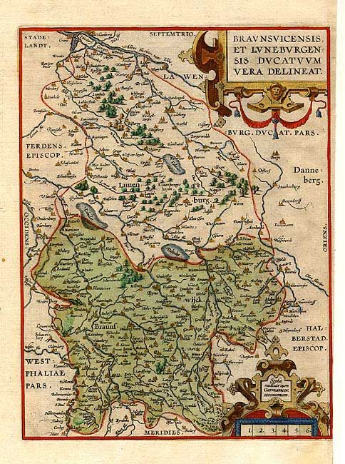
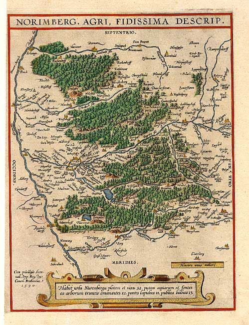
"[Lot of 2] Norimberg. Agri, Fidissima Descrip. [together with] Braunsuicensis et Luneburgensis Ducatuum Vera Delineat", Ortelius, Abraham

Subject: Germany

Period: 1595 (circa)

Publication:

Color: Hand Color

Size:
9.2 x 12 inches
23.4 x 30.5 cm
Download High Resolution Image
(or just click on image to launch the Zoom viewer)

Two finely engraved maps, each within its own border. First is of the region around Nuremberg, the latter of the Brunwick-Luneburg area. Both with decorative strapwork cartouches and filled with detail. The 1559 four-sheet woodblock map by Jorg Nottelein is the model for the Nuremberg map. The latter is based on two of Mercator's maps from his Germaniae tabulae geographicae, published in 1585. From either the 1595 or 1601 Latin edition. These maps were originally printed on a single folio sheet and have been cleanly separated.

References: Van den Broecke #99a & b.

Condition: A

Fine impression on thick paper. Some marginal foxing.

Estimate: $300 - $400

Sold for: $220

Closed on 9/10/2003

Archived