Catalog Archive
Auction 104, Lot 432

"Carte Reduite du Golphe de Gascogne Seconde Edition de 1757…", Bellin, Jacques Nicolas
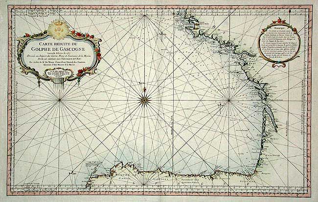
Subject: France

Period: 1757 (dated)

Publication: Hydrographie Francaise

Color: Hand Color

Size:
34.5 x 21.5 inches
87.6 x 54.6 cm
Download High Resolution Image
(or just click on image to launch the Zoom viewer)

Very handsome chart of the Bay of Biscay with the north coast of Spain from Cap Finisterre, and west coast of France north to Brest. Locates Bayone, Bordeaux, Nantes, etc. with information on soundings and anchorages. Ornamented with a large title cartouche and a large compass rose with fleur-de-lis and rhumb lines.

References:

Condition: A

Beautiful impression and coloring with gold highlights in cartouche.

Estimate: $250 - $275

Sold for: $300

Closed on 9/10/2003

Archived