Catalog Archive
Auction 104, Lot 283
"Martinico, one of the Caribbee Islands, in the West Indies; Subject to the French", Jefferys, Thomas
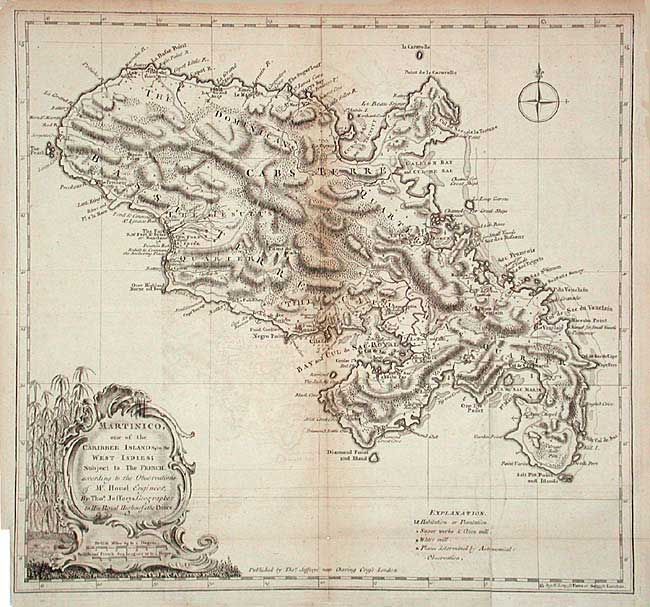
Subject: Martinique
Period: 1760 (circa)
Publication:
Color: Black & White
Size:
14.5 x 13.6 inches
36.8 x 34.5 cm
Download High Resolution Image
(or just click on image to launch the Zoom viewer)
(or just click on image to launch the Zoom viewer)