Catalog Archive
Auction 104, Lot 215

"Map of the City of Chicago", Warner & Beers
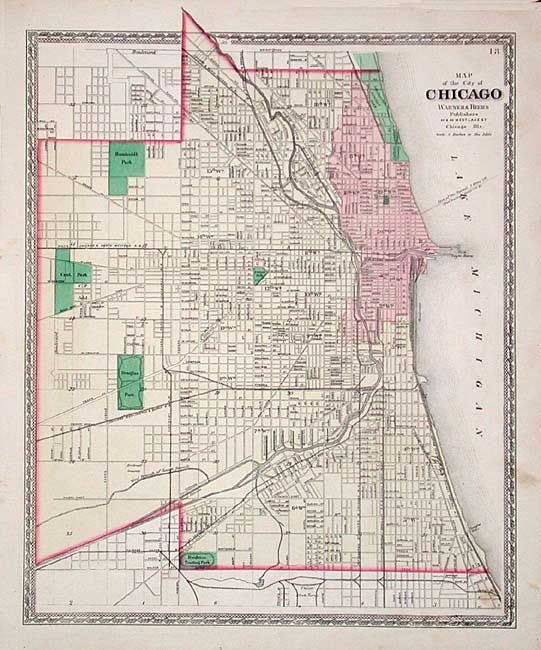
Subject: Illinois

Period: 1876 (circa)

Publication: Atlas of the State of Illinois

Color: Hand Color

Size:
13.5 x 17.2 inches
34.3 x 43.7 cm
Download High Resolution Image
(or just click on image to launch the Zoom viewer)

Large and very detailed post-fire map of the downtown region. Extends north to above Fullerton Street and Lincoln Park, west to Cent. Park and south to Brighton Trotting Park. Excellent detail of railroads, docks, roads, rivers, etc. Decorative borders and blank verso.

References:

Condition: A

A few marginal flaws, map very good.

Estimate: $75 - $100

Sold for: $180

Closed on 9/10/2003

Archived