Catalog Archive
Auction 104, Lot 144

"[Lot of 2] Carte de la Baie de Hudson [together with] Idee de la Rade du Mingan", Bellin, Jacques Nicolas
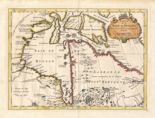
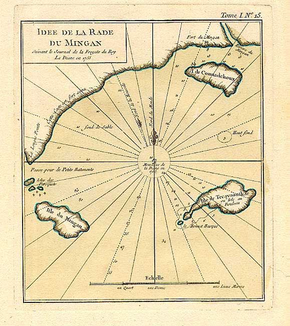
Subject: Canada

Period: 1762-74 (published)

Publication:

Color: Hand Color

Size:
11.6 x 8.5 inches
29.5 x 21.6 cm
Download High Resolution Image
(or just click on image to launch the Zoom viewer)

1) Carte de la Baie de Hudson is a copper engraved map of the straight and bay with a notation concerning the English search for a Northwest Passage near Wager Water. This is the second state, published in Raynal's Atlas Portatif, 1774. (11.6 x 8.5") with full coloring in cartouche and outline color in map. 2) Idee de la Rade du Mingan is a copper engraved chart of the north shore of the Saint Lawrence River from the mouth of the Mingan River and Fort du Mingan to Longe Point. The chart was based on the Journal of the Frigate La Diane in 1755 and published in the Petit Atlas Maritime, Vol. 1, 1762. The map is 6.5 x 7.5".

References: 1) Kershaw 463.

Condition: A

Old tape stains in blank margins.

Estimate: $90 - $120

Sold for: $85

Closed on 9/10/2003

Archived