Catalog Archive
Auction 104, Lot 143

"Golfe de St. Laurent, Isle et Bancs de Terre Neuve", Robert de Vaugondy, Didier
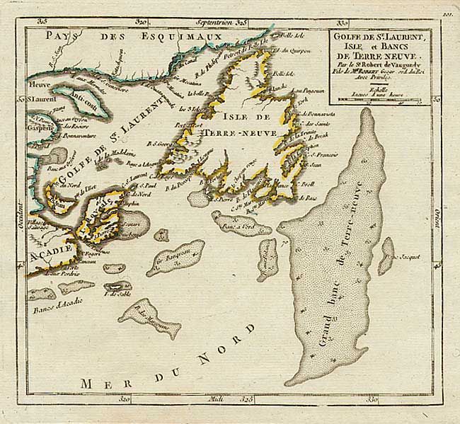
Subject: Canada

Period: 1760 (circa)

Publication:

Color: Hand Color

Size:
7 x 6.4 inches
17.8 x 16.3 cm
Download High Resolution Image
(or just click on image to launch the Zoom viewer)

Nice copper engraved map of the Gulf of St. Lawrence and Newfoundland with excellent depiction of the fishing banks complete with soundings. This map first appeared in the Atlas Portatif, dated 1749. This is a later state with the date erased from the plate and the page number 101 at top right outside the neatline.

References: Kershaw #580; Pedley #464.

Condition: A

Minor defects in wide margins.

Estimate: $100 - $150

Sold for: $85

Closed on 9/10/2003

Archived