Catalog Archive
Auction 103, Lot 420

"Nouvelle Carte Illustree de l'Espagne et du Portugal…", Vuillemin, Alexander A.

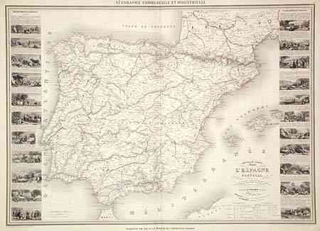
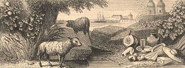
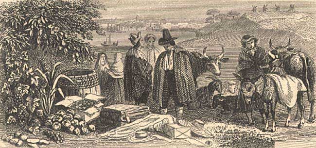
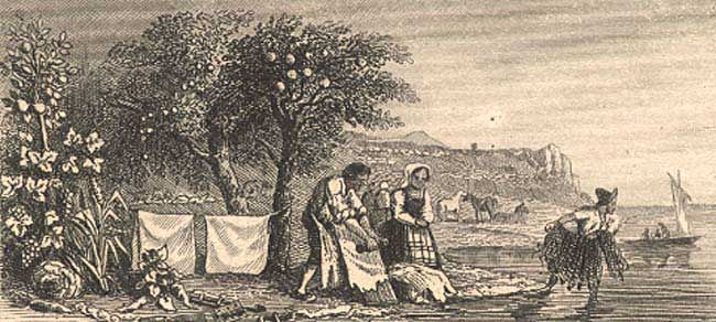
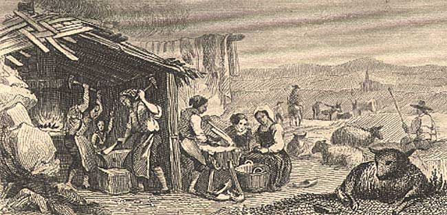
Subject: Spain & Portugal

Period: 1860 (circa)

Publication: Geographie Commerciale et Industrielle

Color: Hand Color

Size:
33 x 23.2 inches
83.8 x 58.9 cm
Download High Resolution Image
(or just click on image to launch the Zoom viewer)

Uncommon, large and detailed map flanked by panels containing twenty-two vignettes of the various regions in Spain and Portugal, with beautiful representations of the products of each region. Explanatory tables at bottom.

References:

Condition: A

Light centerfold toning and marginal soil, one miniscule worm track in lower blank margin, soft crease in left corner. One small tear on right, just touching neatline and a tiny puncture in center of map, both archivally taped. Original outline coloring.

Estimate: $180 - $220

Sold for: $90

Closed on 6/11/2003

Archived