Catalog Archive
Auction 103, Lot 369

"Department de l'Aisne…", Chanlaire, Pierre Gregoire
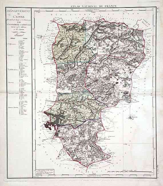
Subject: France

Period: 1790 (dated)

Publication: Atlas National de France

Color: Hand Color

Size:
19.9 x 23 inches
50.5 x 58.4 cm
Download High Resolution Image
(or just click on image to launch the Zoom viewer)

This scarce map was made after the National Assembly that took place on January 26th and February 6th of 1790 for the Bureau de l'Atlas National. Astonishing detail of roads, topography, cities and railroads. The map describes the region from Honnecourt and Comte de Hainaut in the north to La Ferte, Montmiral and Rheims in the south. Table at left gives districts and their cantons.

References:

Condition: B

Tidemarking on right side. Strong plate-mark on thick paper that has perforated paper for 1/2". Small and very light contemporary pencil notation in text on left.

Estimate: $200 - $250

Unsold

Closed on 6/11/2003

Archived