Catalog Archive
Auction 103, Lot 313
"A New Map of England from the latest observations", Senex, John
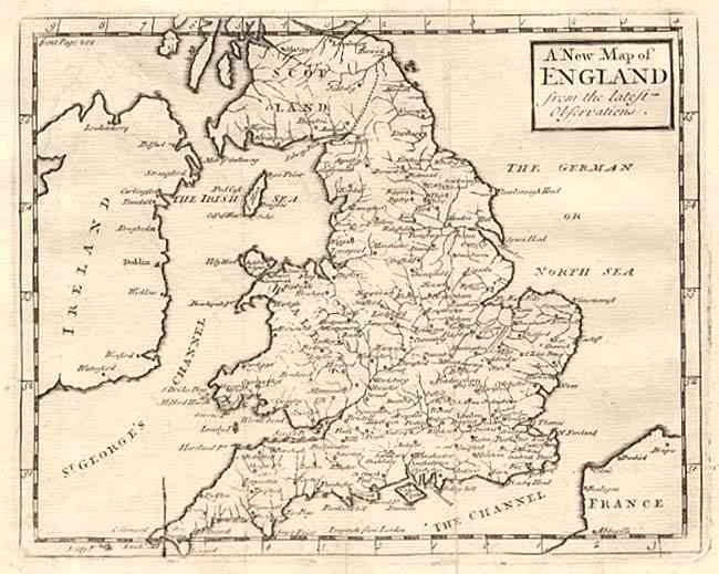
Subject: England
Period: 1733 (circa)
Publication:
Color: Black & White
Size:
8 x 6.2 inches
20.3 x 15.7 cm
Download High Resolution Image
(or just click on image to launch the Zoom viewer)
(or just click on image to launch the Zoom viewer)