Catalog Archive
Auction 103, Lot 273
"Plan de la Baye de l'Isle de St. Vincent une des Isles du Cap Verd", Bellin, Jacques Nicolas
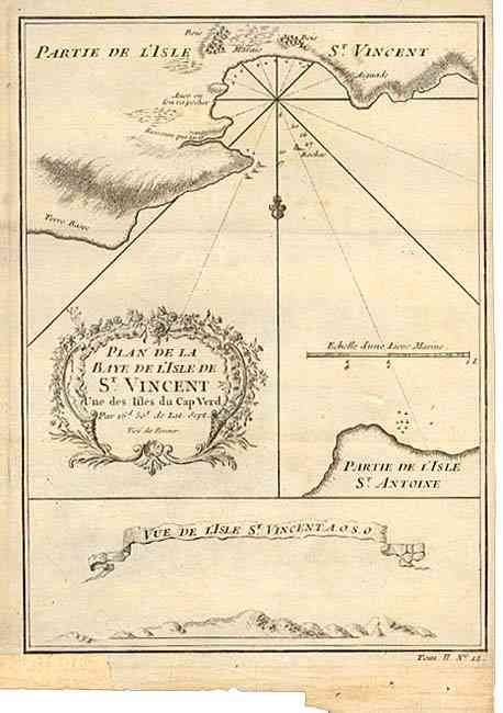
Subject: Cape Verde Islands
Period: 1750 (circa)
Publication:
Color: Black & White
Size:
6 x 8.4 inches
15.2 x 21.3 cm
Download High Resolution Image
(or just click on image to launch the Zoom viewer)
(or just click on image to launch the Zoom viewer)