Catalog Archive
Auction 103, Lot 229
"Colonies Francaises (en Amerique)", Levasseur, Victor
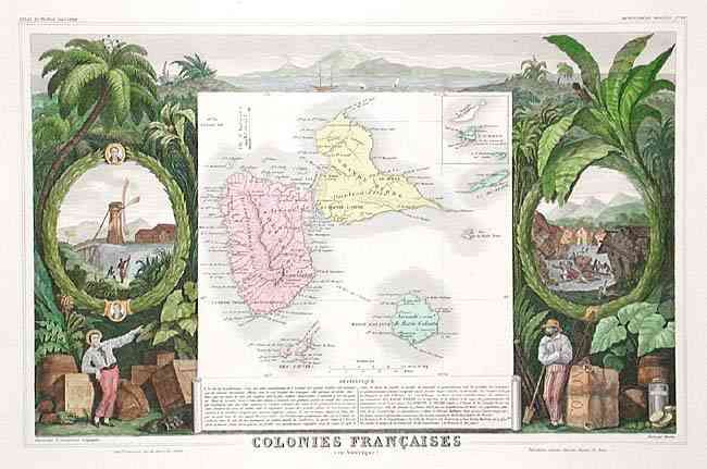
Subject: Lesser Antilles
Period: 1840 (circa)
Publication: Atlas National Illustre
Color: Hand Color
Size:
17 x 10.9 inches
43.2 x 27.7 cm
Download High Resolution Image
(or just click on image to launch the Zoom viewer)
(or just click on image to launch the Zoom viewer)