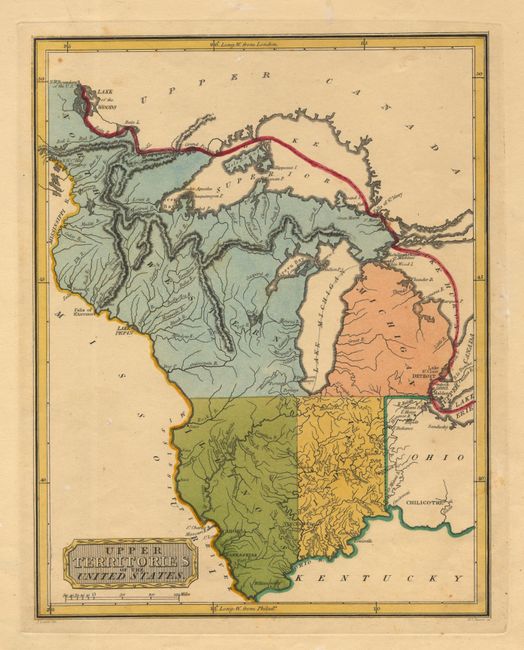
Subject: Central United States
Period: 1808 (circa)
Publication:
Color: Hand Color
Size:
8.5 x 10.7 inches
21.6 x 27.2 cm
A rare map that covers Michigan, Ohio, Indiana, Illinois & North Western Territory. Illinois does not reach Lake Michigan. Engraved by H.S. Tanner. Not to be confused with Carey's smaller map of a similar title, this map does not appear in Karpinski's Maps of Michigan. Title in decorative plaque-style cartouche. A scarce issue that has never appeared in the Jolly/Rosenthal Price Record or the PriceFinder, nor can we find any other references to it.
References:
Condition: B
Some old repairs of small tears on edges of blank margins. Watermark T. G. & Co. A few small spots, otherwise very good.