Catalog Archive
Auction 103, Lot 109

"[Set of 15 maps]", SDUK Society for the Diffusion of Useful Knowledge

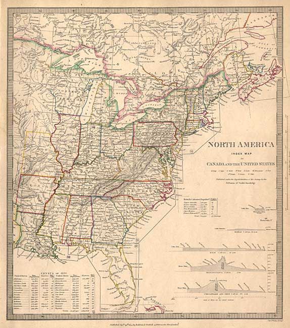
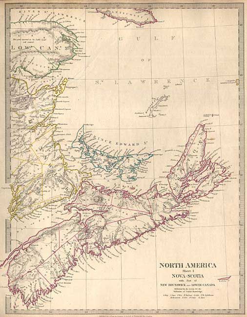
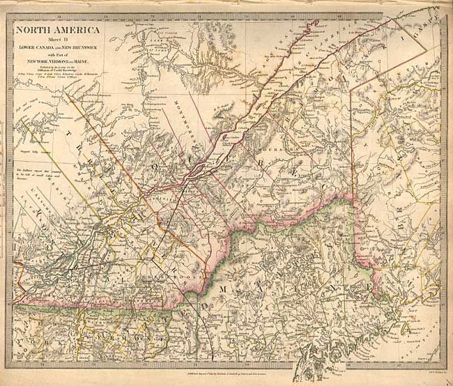
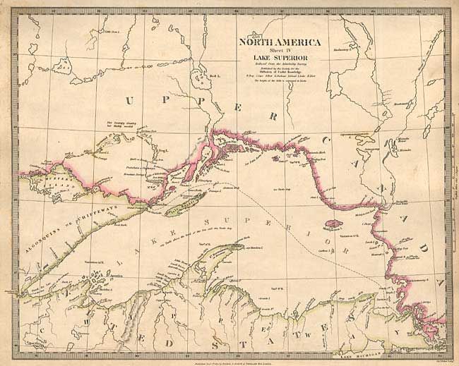
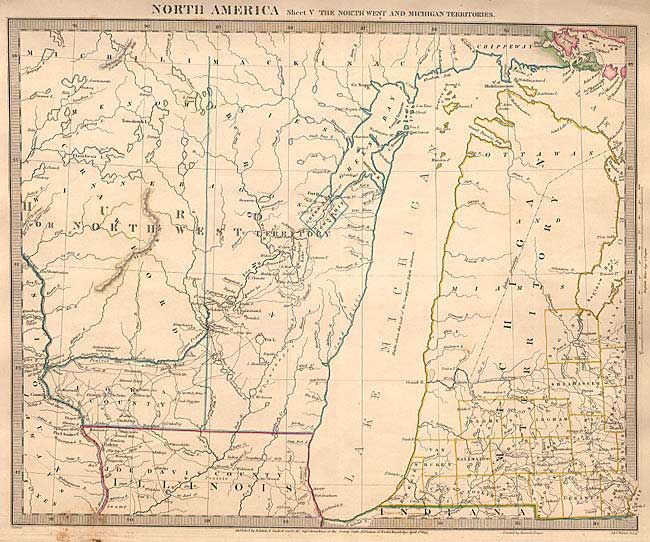
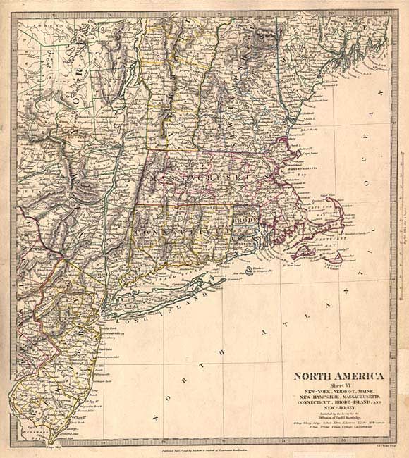
Subject: Canada and United States

Period: 1832-34 (dated)

Publication:

Color: Hand Color

Size:
12 x 15 inches
30.5 x 38.1 cm
Download High Resolution Image
(or just click on image to launch the Zoom viewer)

Complete set of 15 maps covering the eastern part of Canada and the United States. The maps are titled North America, Index Map and Sheets I through XIV. These are great detailed maps filled with interesting features including forts, mines, mills, trading posts, canals, roads, trails, Indian villages, and early county configurations. They are probably the most comprehensive, early 19th century maps produced.

References:

Condition: B

Bit of marginal toning and soil. One has a clean tear into map, 2 old repairs in margin on one, and a dark spot on another.

Estimate: $1,200 - $1,400

Sold for: $2,500

Closed on 6/11/2003

Archived