Catalog Archive
Auction 103, Lot 103
"Quebek de Hoofstad van Kanada; aan de Rivier van St. Laurens: door de Engelschen belegerd en by Verdrag bemagtigd, in 't jaar 1759", Bachiene, Willem Albert
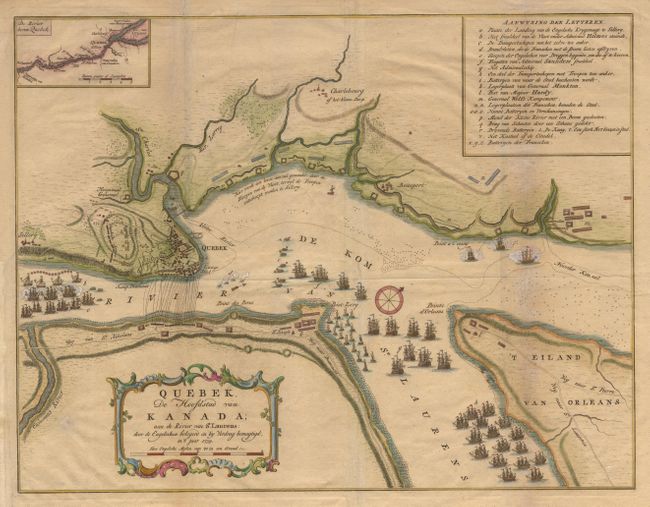
Subject: Canada - Quebec
Period: 1769 (published)
Publication:
Color: Hand Color
Size:
16.8 x 12.8 inches
42.7 x 32.5 cm
Download High Resolution Image
(or just click on image to launch the Zoom viewer)
(or just click on image to launch the Zoom viewer)