Catalog Archive
Auction 102, Lot 407
"De Istria peninsula", Munster, Sebastian
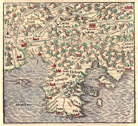
Subject: Balkans
Period: 1554 (circa)
Publication:
Color: Hand Color
Size:
6.4 x 5.6 inches
16.3 x 14.2 cm
Download High Resolution Image
(or just click on image to launch the Zoom viewer)
(or just click on image to launch the Zoom viewer)