Catalog Archive
Auction 102, Lot 363
"A Chart of the Coasts of Ireland and Part of England", Mount & Page
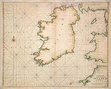
Subject: Ireland
Period: 1745 (published)
Publication: The English Pilot
Color: Hand Color
Size:
22 x 18 inches
55.9 x 45.7 cm
Download High Resolution Image
(or just click on image to launch the Zoom viewer)
(or just click on image to launch the Zoom viewer)