Catalog Archive
Auction 102, Lot 259
"[Generalkarte von Nordamerica samt den Westindischen Inseln - Southeast Sheet]", Schraembl, Franz Anton
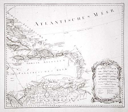
Subject: Caribbean
Period: 1790 (published)
Publication:
Color: Hand Color
Size:
23 x 20 inches
58.4 x 50.8 cm
Download High Resolution Image
(or just click on image to launch the Zoom viewer)
(or just click on image to launch the Zoom viewer)