Catalog Archive
Auction 102, Lot 220

"Map of Choctaw Nation Indian Territory", U.S. Geographical Survey
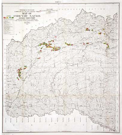
Subject: Oklahoma

Period: 1900 (dated)

Publication:

Color: Hand Color

Size:
25.5 x 28.4 inches
64.8 x 72.1 cm
Download High Resolution Image
(or just click on image to launch the Zoom viewer)

Interesting map showing coal leases per the Choctaw and Chickasaw Agreement of 1898 along with the names of leasees in a table under the title. Also provides a detailed view of the rivers and creeks, railroads and towns.

References:

Condition: B

Folding as issued with tissue repairs at a couple of fold intersections and a bit of faint offsetting toned with pastel.

Estimate: $140 - $180

Sold for: $130

Closed on 3/5/2003

Archived