Catalog Archive
Auction 102, Lot 134

"Die Vereinigten Staaten Von Nord-America, nach den sichersten Bestimmung en, neuesten Nachrichten und Charten, in der Alber'schen Projection entworsen Von C.G. Reichard.", Reichard, Christian Gottlieb Theoph

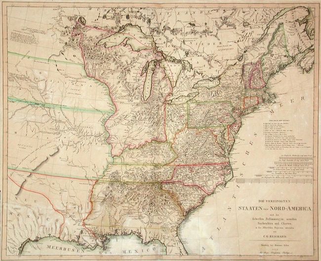
Subject: Eastern United States and Canada

Period: 1809 (dated)

Publication:

Color: Hand Color

Size:
28 x 23 inches
71.1 x 58.4 cm
Download High Resolution Image
(or just click on image to launch the Zoom viewer)

Huge Indiana Territory covers all area west of Ohio to the Mississippi River. West of the Mississippi is an enormous area denoted as Louisiana comprising three divisions: Louisiana is in the north bordering with Canada and Indiana. In the center is a large Mississippi and in the south is the rarely seen and short-lived region of Orleans occupying most of present-day Louisiana. A scarce map.

References:

Condition: B

Good impression and nice color. A couple areas of spots and light toning.

Estimate: $1,800 - $2,200

Sold for: $1,200

Closed on 3/5/2003

Archived