Catalog Archive
Auction 101, Lot 344

"[Lot of 5 Maps]", Levasseur, Victor

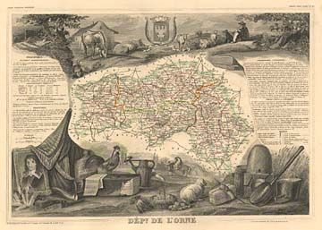
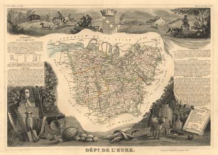
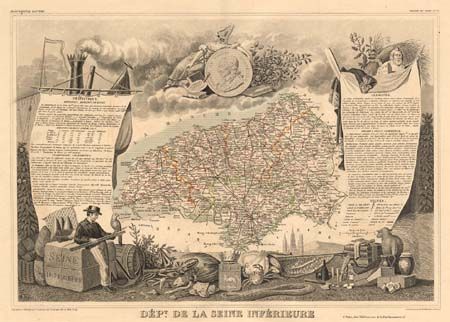
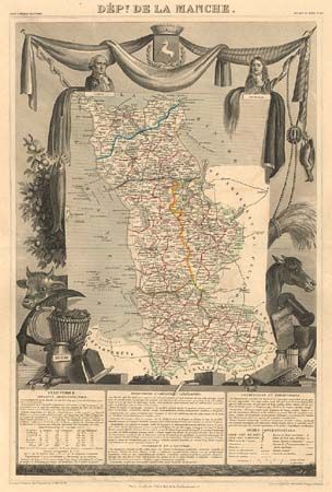
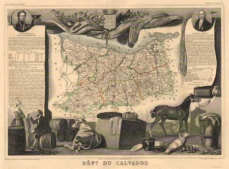
Subject: France - Normandy

Period: 1855 (circa)

Publication: Atlas National Illustre

Color: Hand Color

Size:
15.6 x 10.8 inches
39.6 x 27.4 cm
Download High Resolution Image
(or just click on image to launch the Zoom viewer)

Following the French Revolution the country was divided into 89 departments and the ancient Province of Normandy was split into five departments: Manche, Calvados, Orne, Seine Inferieure and Eure. Three of the maps include the coast, site of the Allied landings in 1944. The large engraved illustrations include shipping, flora, fauna, hunting, local costume and famous personages etc.

References:

Condition: A

Even age toning with wide margins. Vignettes uncolored, as issued.

Estimate: $150 - $200

Sold for: $100

Closed on 12/4/2002

Archived