Subject: England - London
Period: 1756 (published)
Publication: Maitland's History and Survey of London
Color: Black & White
Size:
14.3 x 9 inches
36.3 x 22.9 cm
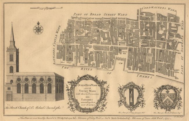
These copperplate engravings were published in William Maitland's History and Survey of London, 1756. They are very detailed maps of the streets, lanes, alleys and courts in the ancient city of London. They are richly embellished with architectural profiles of major churches or important buildings, the arms of the mayor and aldermen, elaborate title cartouches and compass roses.
Plan of the adjacent Thames-side wards of Queenhithe and Vintry in the City of London, taking in College Hill, Queen Street, Garlick Hill and much of (Upper) Thames Street. Decorated with a title cartouche, the arms of the contemporary aldermen (Sir Crisp Gascoyne and Marsh Dickinson), and a view the parish church of St. Michael Queenhithe.
References:
Condition: A
Minor printer's crease, else fine.


