Catalog Archive
Auction 101, Lot 250

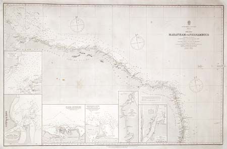
"South America - Est Coast Sheet IV. Brazil Maranham to Pernambuco", British Admiralty

Subject: Brazil

Period: 1873 (dated)

Publication:

Color: Black & White

Size:
38 x 24.2 inches
96.5 x 61.5 cm
Download High Resolution Image
(or just click on image to launch the Zoom viewer)

Large and very detailed chart of the coastline between Olinda, Natal and around to San Marcos Bay and Sao Lois. Six insets include Sketch of Rio Grande do Norte, Aracati or Jaguarvbe River, Paranahyba River, Tutoia Anchorage, Entrance to the Parahiba River, and Maranham Bay. Originally surveyed by Vital de Oliveira of the Brazilian Imperial Navy in 1857-59. Revised to Oct. 1873.

References:

Condition: A

Good impression on thick paper. A few spots not detracting from image.

Estimate: $70 - $100

Unsold

Closed on 12/4/2002

Archived