Subject: Guide Books
Period: 1900-01 (published)
Publication:
Color: Printed Color
Size:
4.3 x 6.5 inches
10.9 x 16.5 cm
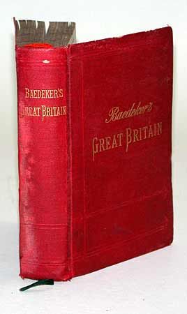
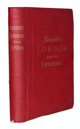
First with 18 maps, 39 plans and a panorama providing a great look at the city at the turn of the 20th century. Information covers routes and tour plans, sites of interest, hotels, expected travelling expenses, history and statistics. Fifth revised edition. "Railway Map of England and Wales" detached from endpaper, torn with numerous old linen tape repairs. Other maps all fine with no mis-folding. Second with 21 plans, missing the 4 folding maps. Twelfth revised edition. Both with original soft red covers with gilt titles.
References:
Condition: B
First - back cover damp stained, spine starting to split at bottom. Second - moderate shelf wear.