Catalog Archive
Auction 100, Lot 429

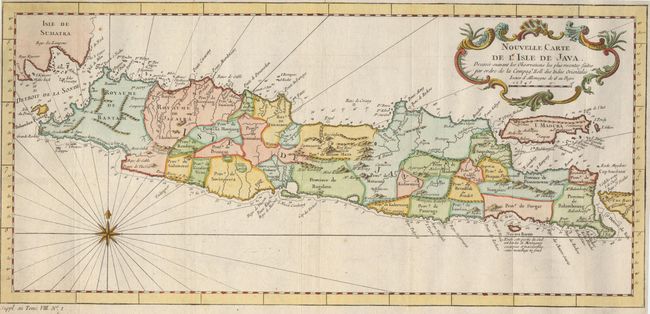
"Nouvelle Carte de l'Isle de Java", Bellin, Jacques Nicolas

Subject: Indonesia

Period: 1752 (circa)

Publication: Prevost's L' Histoire Generale des Voyages

Color: Hand Color

Size:
16.9 x 8 inches
42.9 x 20.3 cm
Download High Resolution Image
(or just click on image to launch the Zoom viewer)

Attractive chart of the island depicting soundings around the coast, all principal harbors, rivers and elevations, bays and points, settlements and provinces. Included are Madura, Bali, Sunda Strait and the southeastern tip of Sumatra. The island is divided into provinces and the kingdoms of Bantam, Tsieribon and Jacatra. Nice compass rose and decorative title cartouche complete the map.

References:

Condition: A

Couple of spots in margins, well away from map. Binding trim replaced to better accommodate framing.

Estimate: $120 - $150

Sold for: $90

Closed on 9/12/2002

Archived