Subject: World
Period: 1874 (dated)
Publication:
Color: Printed Color
Size:
59 x 43 inches
149.9 x 109.2 cm
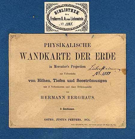
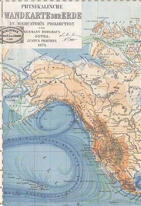
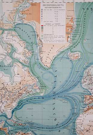
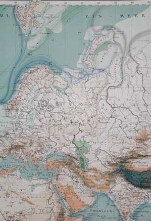
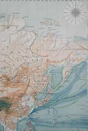
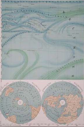
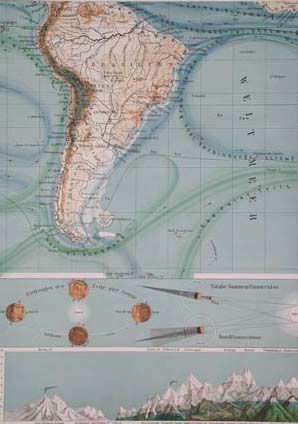
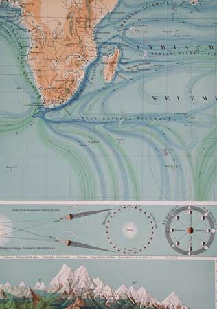
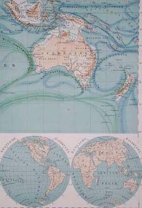
Superb nineteenth century wall map, issued in eight sheets and presented in a fine, paper-covered board portfolio, complete with original label and 12 page booklet (German text). The map is a beautifully rendered, full-color lithograph showing the topography, ocean currents, geology, and population centers. Several insets: compass rose, double hemisphere world map, world on polar projections, several celestial diagrams, and a splendid chart of the relative heights of the world's mountains. 8 sheets, 14.7" x 21.5" each section; map would be 59 x 43" if assembled.
References:
Condition: A+
Both map and portfolio in near mint condition. Previous owner's bookplate and manuscript identification number on map title and portfolio.