Catalog Archive
Auction 100, Lot 280
"Carte des Chemins de fer de l'Europe Centrale", Longuet
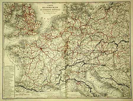
Subject: Central Europe
Period: 1852 (dated)
Publication:
Color: Hand Color
Size:
25.5 x 19.1 inches
64.8 x 48.5 cm
Download High Resolution Image
(or just click on image to launch the Zoom viewer)
(or just click on image to launch the Zoom viewer)