Catalog Archive
Auction 100, Lot 207

"Map of the North Carolina Coast", Anon.

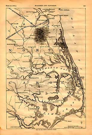
Subject: North Carolina

Period: 1862 (dated)

Publication: Harper's History of the Great Rebellion

Color: Black & White

Size:
9.2 x 14 inches
23.4 x 35.6 cm
Download High Resolution Image
(or just click on image to launch the Zoom viewer)

An interesting map of the coast from the James River to Pamlico Sound showing the roads and railroads. The map is filled with details with emphasis on the railway network. This region was hotly contested during the Civil War when the Burnside Expedition captured Roanoke Island in February of 1862.

References:

Condition: A

Light damp stains in margins and a small marginal tear closed with archival tape.

Estimate: $60 - $80

Sold for: $55

Closed on 9/12/2002

Archived