Catalog Archive
Auction 100, Lot 187
"Map of the State of Maine Compiled Drawn & Published from Official Plans and Actual Surveys", Colby & Stuart
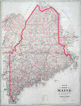
Subject: Maine
Period: 1883 (dated)
Publication:
Color: Hand Color
Size:
25 x 32.5 inches
63.5 x 82.6 cm
Download High Resolution Image
(or just click on image to launch the Zoom viewer)
(or just click on image to launch the Zoom viewer)