Catalog Archive
Auction 100, Lot 133

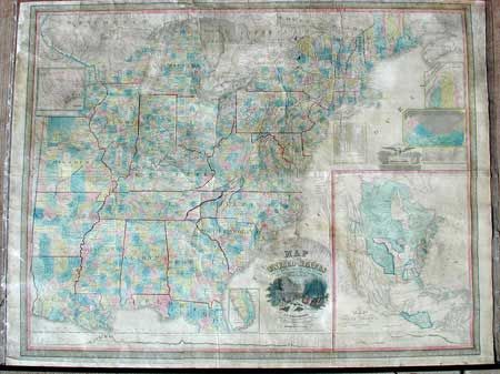
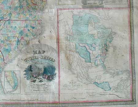
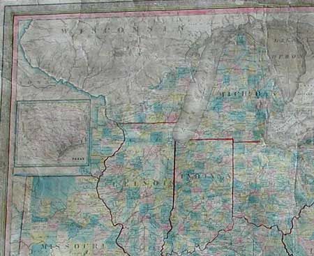
"Map of the United States with the recent Counties, Cities, Villages and Internal Improvements in the Western States, by J.L. Woodbridge...", Phelps & Ensign

Subject: United States

Period: 1847 (dated)

Publication:

Color: Hand Color

Size:
58 x 45 inches
147.3 x 114.3 cm
Download High Resolution Image
(or just click on image to launch the Zoom viewer)

Large wall map on six sheets mounted on paper. Map extends to include Louisiana, Arkansas and Missouri. The map is filled with detail including hundreds of place names, roads, villages, railroads, ports, etc. A huge (18x22") inset "Map of North America including the West Indies" shows a large Oregon Territory and a larger Missouri Territory extending all the way to Oregon and Mexico. Texas is shown in another inset, but it is unclear if it is depicted as a state or independent. Enormous, pictorial title cartouche is of Little Falls, New York. Decorative border. A very nice example of this rarely seen wall map.

References:

Condition: A

Recently conserved with slightly faded color. Complete with original rollers, upper detached.

Estimate: $1,200 - $1,600

Sold for: $1,000

Closed on 9/12/2002

Archived