Subject: United States
Period: 1815 (dated)
Publication:
Color: Hand Color
Size:
56 x 48 inches
142.2 x 121.9 cm
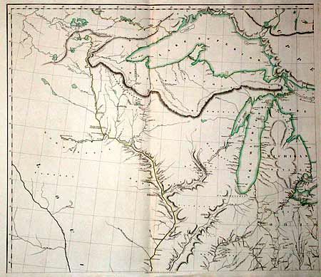
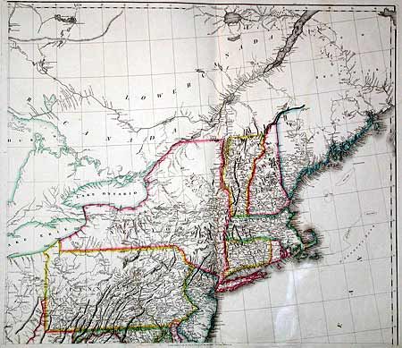
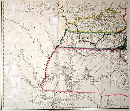
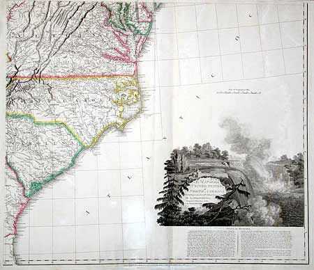
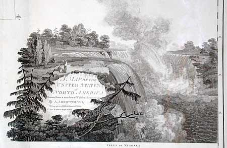
This extremely influential map of the United States was first issued in 1796. This is the revised edition with "additions to 1802-1815". The 1802 version was used by Lewis and Clark to plan their famous expedition. The interior detail of the trans-Mississippi west was compiled largely from accounts supplied by Native Americans to Arrowsmith by the Hudson's Bay Company. The course of the Missouri River delineated on the map prompted Lewis and Clark to plot their course along the Missouri River, as it appeared to be the most direct route to the Pacific. Georgia's western border is on the Mississippi River. The westernmost road terminates at Nashville and all trails end at the Mississippi. Large engraved view of Niagara Falls is inset with the title. Below the view is a fascinating description of the falls. A scarce and important American map. Four sheets, each approximately 28 x 24", un-joined. Size stated is the size of the map if joined.
References: Stevens & Tree #79-f.
Condition: B
Some color offsetting.