Showing Featured Lots(remove filter)
Catalog Archive
15 lots
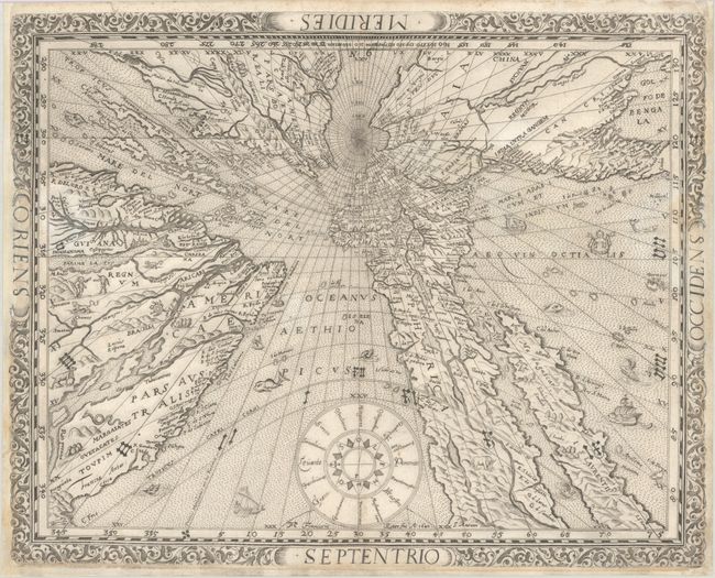
Auction 206, Lot 7
Subject: World
Ritter, Franz
[Untitled - World], 1640
Size: 14.1 x 11.3 inches (35.8 x 28.7 cm)
Estimate: $9,000 - $11,000
Ritter's Fascinating Sundial World Map
Unsold
Closed on 11/12/2025
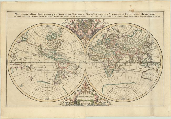
Auction 206, Lot 15
Subject: World
Sanson/Jaillot
Mappe-Monde Geo-Hydrographique, ou Description Generale du Globe Terrestre et Aquatique en Deux-Plans-Hemispheres, ou Sont Exactement Remarquees en General Toutes les Parties de la Terre et de l'Eau, Suivant les Relations les Plus Nouvelles, 1696
Size: 35.3 x 21.3 inches (89.7 x 54.1 cm)
Estimate: $2,200 - $2,500
Jaillot's Grand Double-Hemisphere World Map
Unsold
Closed on 11/12/2025
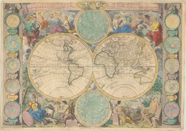
Auction 206, Lot 19
Subject: World
Bailleul, Nicolas
Nouvelle Mappe-Monde avec la Representation des Deux Emispheres Celestes, les Disques du Soleil, et de la Lune, et les Diferents Sentiments sur le Mouvemt. des Planetes..., 1755
Size: 28.9 x 20.7 inches (73.4 x 52.6 cm)
Estimate: $4,750 - $6,000
Map Featuring Interesting Cartography in the Northwest
Unsold
Closed on 11/12/2025
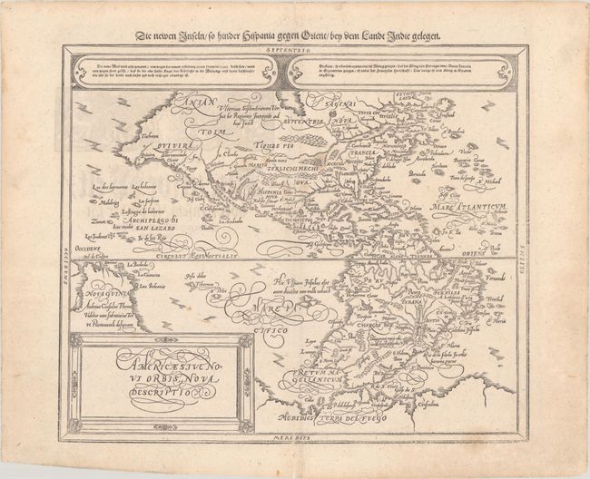
Auction 206, Lot 60
Subject: Western Hemisphere - America
Munster/Petri
Americae sive Novi Orbis, Nova Descriptio, 1614
Size: 14.3 x 12.1 inches (36.3 x 30.7 cm)
Estimate: $1,400 - $1,700
Munster's Take on Ortelius' Classic Map
Unsold
Closed on 11/12/2025
Auction 206, Lot 61
Subject: Western Hemisphere - America
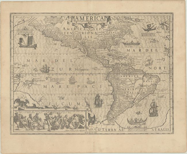
Hondius, Jodocus
America, 1623
Size: 19.9 x 14.8 inches (50.5 x 37.6 cm)
Estimate: $3,750 - $4,500
Hondius' Important Map of the Americas
Unsold
Closed on 11/12/2025
Auction 206, Lot 108
Subject: Colonial Eastern United States & Canada
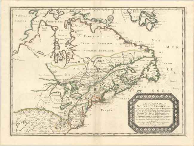
Sanson/Mariette
Le Canada, ou Nouvelle France, &c. ce qui est le Plus Advance Vers le Septentrion est Tire de Diverses Relations des Anglois, Danois, &c..., 1656
Size: 21.4 x 15.9 inches (54.4 x 40.4 cm)
Estimate: $4,000 - $4,750
Keystone Map for Great Lakes Collections
Unsold
Closed on 11/12/2025
Auction 206, Lot 109
Subject: Colonial Eastern United States & Canada
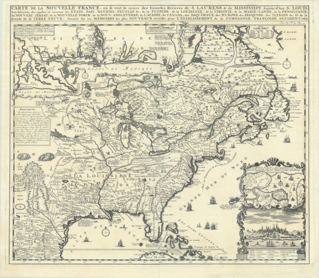
Chatelain, Henry Abraham
Carte de la Nouvelle France, ou se Voit le Cours des Grandes Rivieres de S. Laurens & de Mississipi Aujour d'hui S. Louis, aux Environs des-quelles se Trouvent les Etats, Pais, Nations, Peuples, &c. de la Floride, de la Louisiane, de la Virginie..., 1719
Size: 19.3 x 16.7 inches (49 x 42.4 cm)
Estimate: $2,000 - $2,300
One of the Most Informative 18th Century Maps of the French Possessions in North America
Unsold
Closed on 11/12/2025
Auction 206, Lot 110
Subject: Colonial Eastern United States & Canada
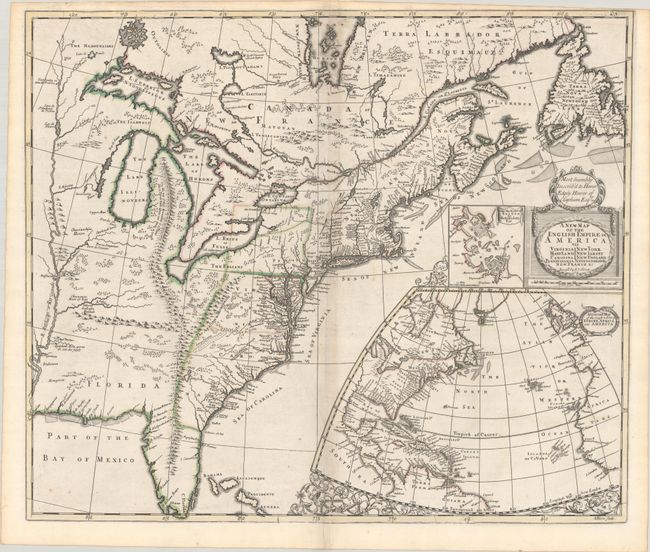
Senex, John
A New Map of the English Empire in America viz Virginia Maryland Carolina Pennsylvania New York New Iarsey New England Newfoundland New France &c., 1719
Size: 22.9 x 19.6 inches (58.2 x 49.8 cm)
Estimate: $2,400 - $3,000
Senex's Important Map of the American Colonies
Unsold
Closed on 11/12/2025
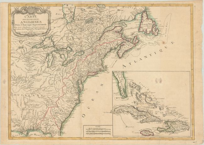
Auction 206, Lot 115
Subject: Colonial Eastern United States & Canada
Imbert, J. Leopold
Carte des Possessions Angloises dans l'Amerique Septentrionale pour Servir d'Intelligence a la Guerre Presente Traduite de l'Anglois, 1777
Size: 29 x 21.3 inches (73.7 x 54.1 cm)
Estimate: $1,800 - $2,200
First Edition of Important Revolutionary War Map
Unsold
Closed on 11/12/2025
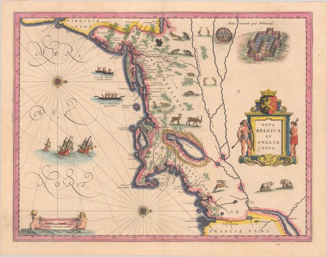
Auction 206, Lot 147
Subject: Colonial New England & Mid-Atlantic United States
Blaeu, (Family)
Nova Belgica et Anglia Nova, 1638
Size: 19.9 x 15.3 inches (50.5 x 38.9 cm)
Estimate: $1,500 - $1,800
Important Map of Colonial New England and the Mid-Atlantic
Unsold
Closed on 11/12/2025
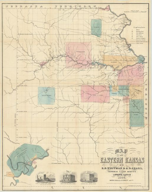
Auction 206, Lot 236
Subject: Eastern Kansas
Jewett & Co., J. P.
Map of Eastern Kansas, 1856
Size: 21.1 x 26.8 inches (53.6 x 68.1 cm)
Estimate: $1,400 - $1,700
Early Map of "Bleeding Kansas"
Unsold
Closed on 11/12/2025
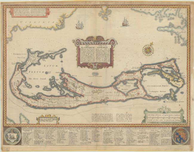
Auction 206, Lot 367
Subject: Bermuda
Speed, John
Mappa Aestivarum Insularum Alias Bermudas Dictarum... / A Mapp of the Sommer Islands Once Called the Bermudas..., 1676
Size: 21.1 x 15.9 inches (53.6 x 40.4 cm)
Estimate: $1,100 - $1,400
Speed's Foundation Map of Bermuda
Unsold
Closed on 11/12/2025
Auction 206, Lot 374
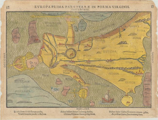
Subject: Europe
Bunting, Heinrich
Europa Prima Pars Terrae in Forma Virginis, 1589
Size: 14.1 x 9.4 inches (35.8 x 23.9 cm)
Estimate: $2,000 - $2,400
Europe Depicted as the Queen of the World
Unsold
Closed on 11/12/2025
Auction 206, Lot 606
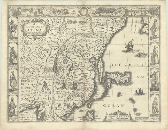
Subject: China, Korea & Japan
Speed, John
The Kingdome of China Newly Augmented, 1626
Size: 20.3 x 15.6 inches (51.6 x 39.6 cm)
Estimate: $2,750 - $3,500
Speed's Striking Carte-a-Figures Map of China with the Island of Korea
Unsold
Closed on 11/12/2025
Auction 206, Lot 667
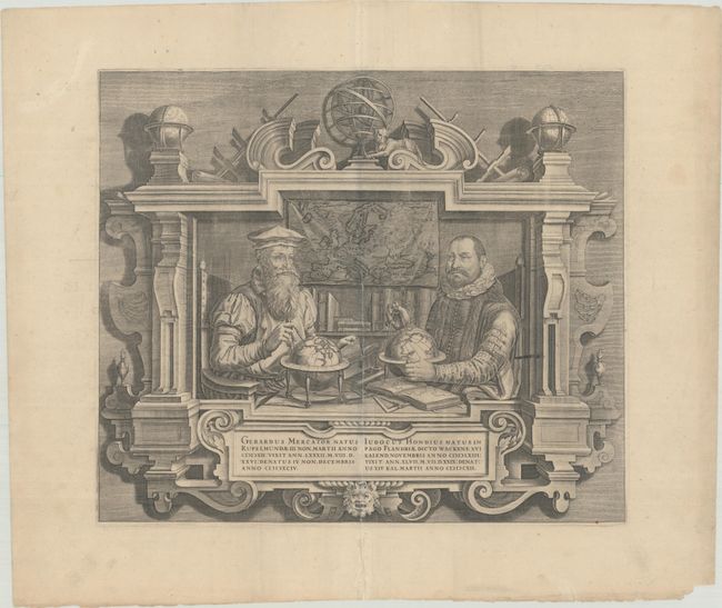
Subject: Portrait
Hondius
Gerardus Mercator... Iudocus Hondius..., 1613
Size: 17.5 x 15 inches (44.5 x 38.1 cm)
Estimate: $1,000 - $1,300
Famous Portraits of Mercator and Jodocus Hondius
Unsold
Closed on 11/12/2025
15 lots


