Showing Featured Lots(remove filter)
Catalog Archive
71 lots
Page 1 of 2
Auction 206, Lot 1
Subject: Continents
Mercator/Hondius
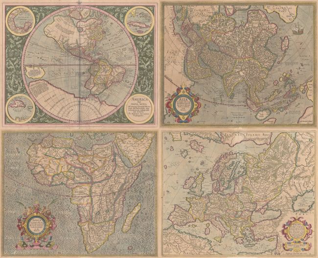
[Lot of 4] America sive India Nova... [and] Africa ex Magna Orbis Terre Descriptione... [and] Asia ex Magna Orbis Terre Descriptione... [and] Europa, ad Magnae Europae Gerardi Mercatoris..., 1628
Size: See Description
Estimate: $4,500 - $5,500
Matching Set of Continents by Mercator
Sold for: $3,250
Closed on 11/12/2025
Auction 206, Lot 2
Subject: World
Fries, Lorenz
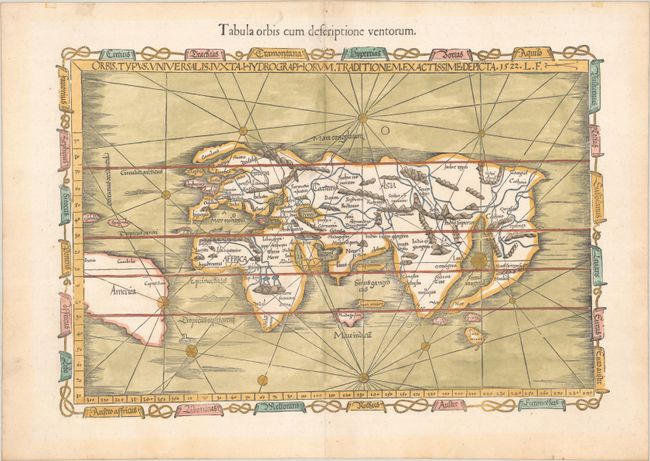
Orbis Typus Universalis Iuxta Hydrographorum Traditionem Exactissime Depicta, 1522
Size: 19.1 x 12.8 inches (48.5 x 32.5 cm)
Estimate: $9,000 - $11,000
One of the First Ptolemaic Maps to Name America -- with Old Color
Sold for: $5,500
Closed on 11/12/2025
Auction 206, Lot 3
Subject: World
Gastaldi, Giacomo
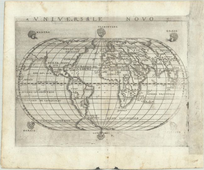
Universale Novo, 1548
Size: 6.8 x 5.1 inches (17.3 x 13 cm)
Estimate: $1,900 - $2,200
A "Modern" World Map with North America Connected to Asia
Sold for: $1,000
Closed on 11/12/2025
Auction 206, Lot 4
Subject: World
Mercator, Rumold
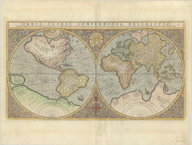
Orbis Terrae Compendiosa Descriptio quam ex Magna Universali Gerardi Mercatoris..., 1587
Size: 20.6 x 11.4 inches (52.3 x 29 cm)
Estimate: $5,500 - $6,500
Mercator's Double-Hemisphere World Map
Sold for: $3,000
Closed on 11/12/2025
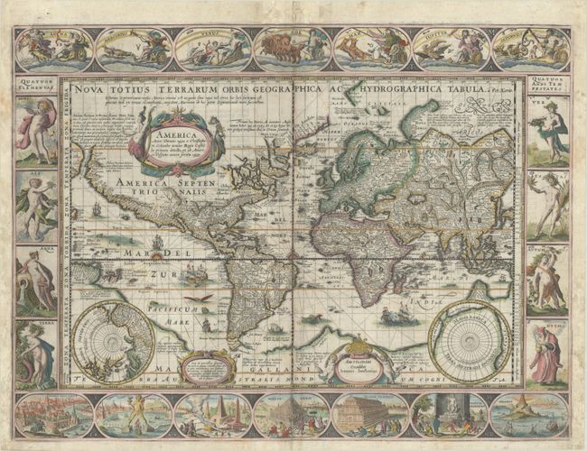
Auction 206, Lot 6
Subject: World
Keere, Pieter Van Den
Nova Totius Terrarum Orbis Geographica ac Hydrographica Tabula, 1637
Size: 21.1 x 15.8 inches (53.6 x 40.1 cm)
Estimate: $10,000 - $14,000
Van den Keere's Magnificent Carte-a-Figures World Map in Full Contemporary Color
Sold for: $5,000
Closed on 11/12/2025
Auction 206, Lot 7
Subject: World
Ritter, Franz
[Untitled - World], 1640
Size: 14.1 x 11.3 inches (35.8 x 28.7 cm)
Estimate: $9,000 - $11,000
Ritter's Fascinating Sundial World Map
Unsold
Closed on 11/12/2025
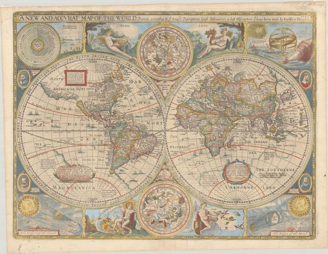
Auction 206, Lot 9
Subject: World
Speed, John
A New and Accurat Map of the World Drawne According to ye Truest Descriptions Latest Discoveries & Best Observations yt Have Beene Made by English or Strangers, 1651
Size: 20.6 x 15.6 inches (52.3 x 39.6 cm)
Estimate: $14,000 - $16,000
Speed's Double-Hemisphere World Map
Sold for: $10,000
Closed on 11/12/2025
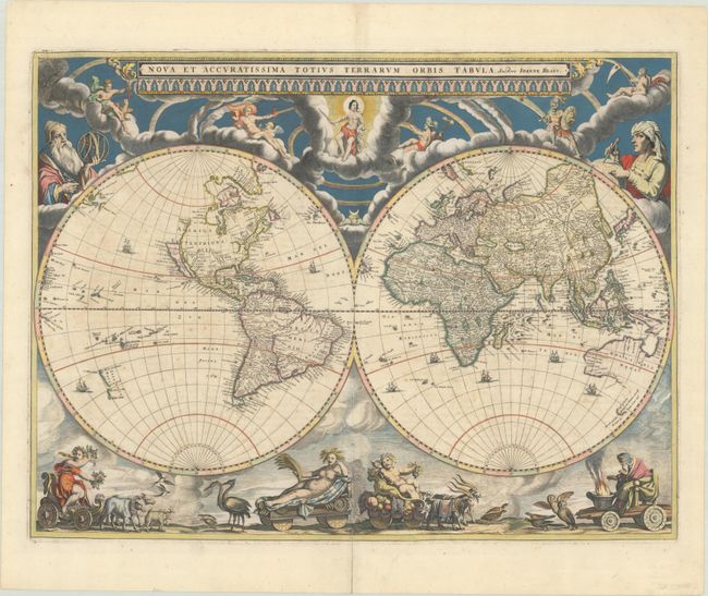
Auction 206, Lot 10
Subject: World
Blaeu, Johannes
Nova et Accuratissima Totius Terrarum Orbis Tabula, 1662
Size: 21.4 x 16.1 inches (54.4 x 40.9 cm)
Estimate: $14,000 - $17,000
Rare Map from Atlas Maior with Representations of the Seasons in Contemporary Color
Sold for: $10,000
Closed on 11/12/2025
Auction 206, Lot 14
Subject: World
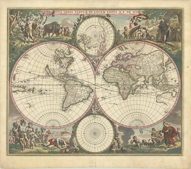
Wit, Frederick de
Nova Orbis Tabula, in Lucem Edita, 1691
Size: 22.4 x 18.8 inches (56.9 x 47.8 cm)
Estimate: $5,500 - $6,500
De Wit's Stunning Double-Hemisphere Map in Full Contemporary Color
Sold for: $5,500
Closed on 11/12/2025
Auction 206, Lot 15
Subject: World
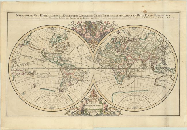
Sanson/Jaillot
Mappe-Monde Geo-Hydrographique, ou Description Generale du Globe Terrestre et Aquatique en Deux-Plans-Hemispheres, ou Sont Exactement Remarquees en General Toutes les Parties de la Terre et de l'Eau, Suivant les Relations les Plus Nouvelles, 1696
Size: 35.3 x 21.3 inches (89.7 x 54.1 cm)
Estimate: $2,200 - $2,500
Jaillot's Grand Double-Hemisphere World Map
Unsold
Closed on 11/12/2025
Auction 206, Lot 19
Subject: World
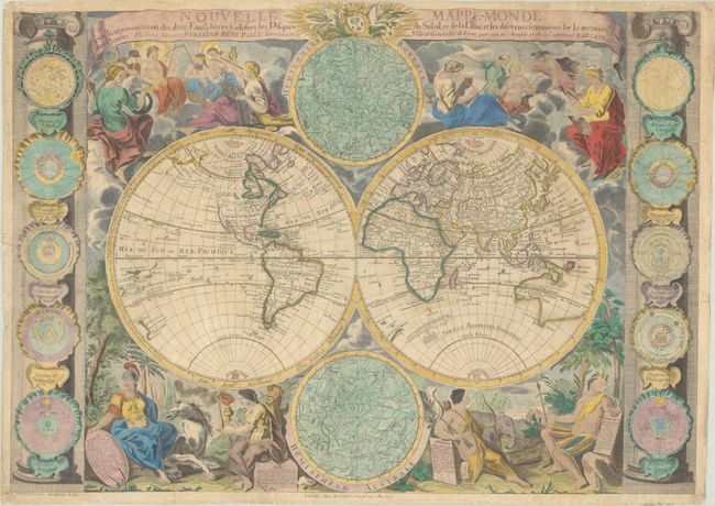
Bailleul, Nicolas
Nouvelle Mappe-Monde avec la Representation des Deux Emispheres Celestes, les Disques du Soleil, et de la Lune, et les Diferents Sentiments sur le Mouvemt. des Planetes..., 1755
Size: 28.9 x 20.7 inches (73.4 x 52.6 cm)
Estimate: $4,750 - $6,000
Map Featuring Interesting Cartography in the Northwest
Unsold
Closed on 11/12/2025
Auction 206, Lot 37
Subject: Ancient World
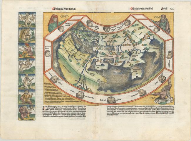
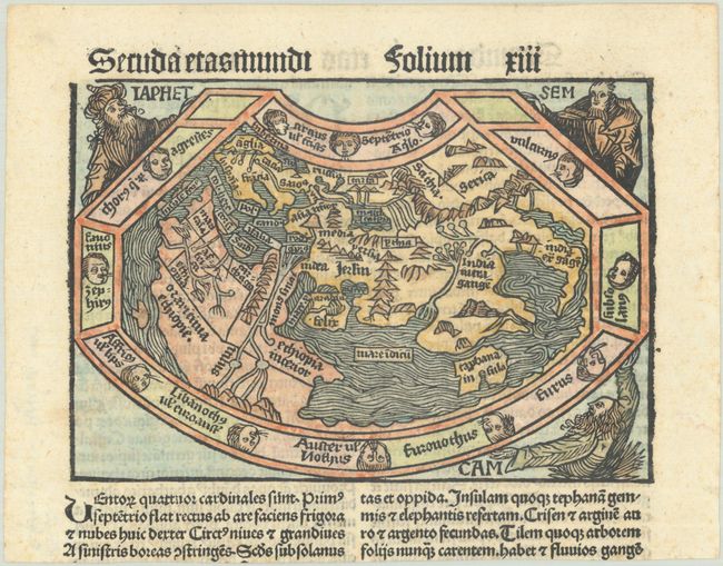
Schedel, Hartmann
Secunda Etas Mundi, 1493
Size: 20.5 x 14.3 inches (52.1 x 36.3 cm)
Estimate: $16,000 - $18,000
Schedel's Ancient World Map
Sold for: $10,000
Closed on 11/12/2025
Auction 206, Lot 38
Subject: Ancient World
Schonsperger, Johann
Secunda Etas Mundi, 1497
Size: 5.8 x 4 inches (14.7 x 10.2 cm)
Estimate: $3,000 - $3,750
A Miniature Version of Schedel's Ancient World Map
Sold for: $2,200
Closed on 11/12/2025
Auction 206, Lot 39
Subject: Ancient World
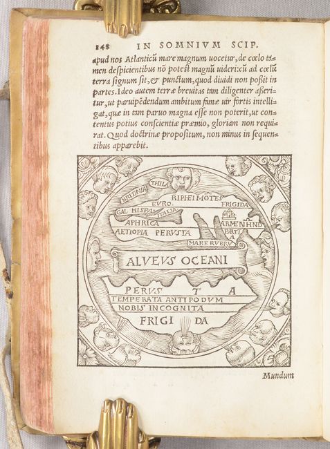
Macrobius, Ambrosius Aurelius Theodo
[Macrobii Ambrosii Aurelii Theodosii, Viri Consularis, & Illustris, in Somnium Scipionis, Lib. II. Saturnaliorum, Lib. VII…], 1532
Size: 4.5 x 6.5 inches (11.4 x 16.5 cm)
Estimate: $1,000 - $1,300
Macrobius' Miniature Ancient World Map
Sold for: $600
Closed on 11/12/2025
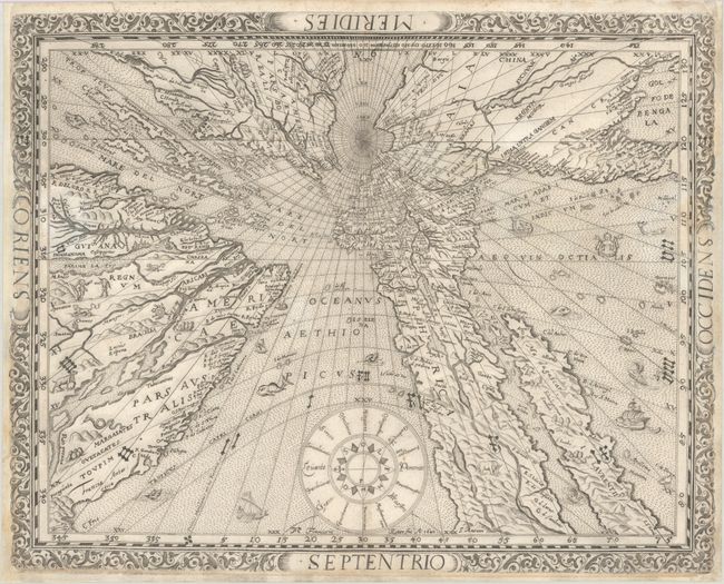
Auction 206, Lot 43
Subject: North Pole
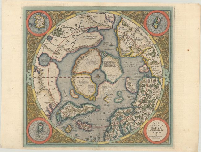
Mercator, Gerard
Septentrionalium Terrarum Descriptio, 1606
Size: 15.5 x 14.5 inches (39.4 x 36.8 cm)
Estimate: $2,750 - $3,500
The First Printed Map Devoted to the Arctic
Sold for: $2,750
Closed on 11/12/2025
Auction 206, Lot 46
Subject: South Pole
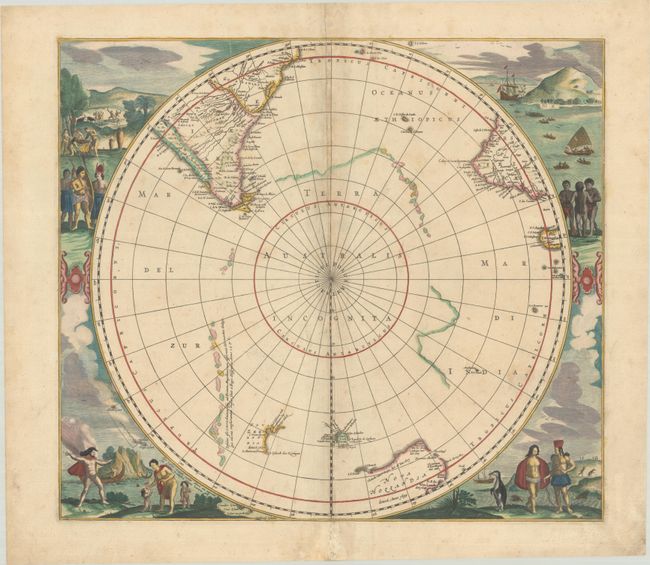
Hondius/Jansson
[Polus Antarcticus], 1666
Size: 19.4 x 17.3 inches (49.3 x 43.9 cm)
Estimate: $1,600 - $1,900
Rare Edition with New Zealand, Tasmania and "Nova Hollandia" in Contemporary Color
Sold for: $1,200
Closed on 11/12/2025
Auction 206, Lot 57
Subject: Western Hemisphere - America
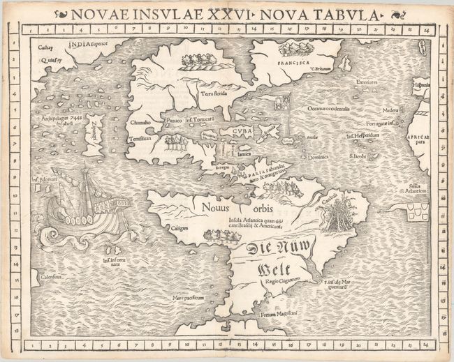
Munster, Sebastian
Novae Insulae XXVI Nova Tabula, 1552
Size: 14.8 x 11.3 inches (37.6 x 28.7 cm)
Estimate: $6,000 - $7,500
Rare State of One of the Most Important 16th Century Maps of the New World
Sold for: $5,000
Closed on 11/12/2025
Auction 206, Lot 58
Subject: Western Hemisphere - America
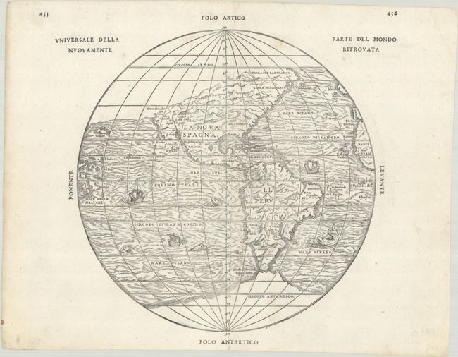
Gastaldi/Ramusio
Universale della Parte del Mondo Nuovamente Ritrovata, 1565
Size: 10.5 x 10.6 inches (26.7 x 26.9 cm)
Estimate: $3,250 - $4,000
First Printed Map to Reflect Coronado's Explorations in the Southwest
Sold for: $2,400
Closed on 11/12/2025
Auction 206, Lot 59
Subject: Western Hemisphere - America
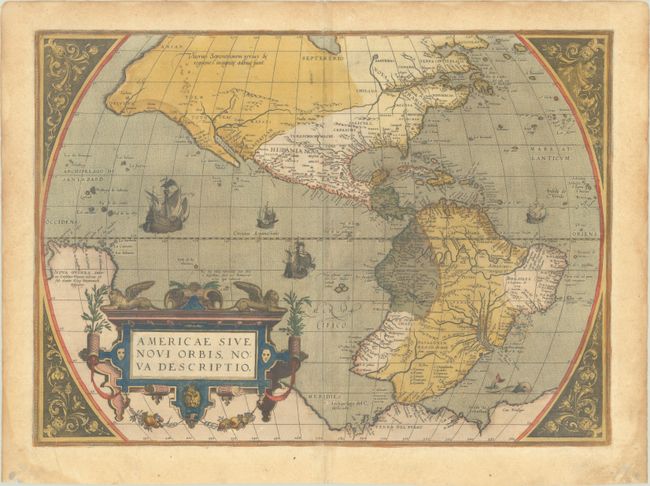
Ortelius, Abraham
Americae sive Novi Orbis, Nova Descriptio, 1579
Size: 19.6 x 14.2 inches (49.8 x 36.1 cm)
Estimate: $4,750 - $6,000
Ortelius' Influential Map of the New World - Second Plate in Full Contemporary Color
Sold for: $3,000
Closed on 11/12/2025
Auction 206, Lot 60
Subject: Western Hemisphere - America
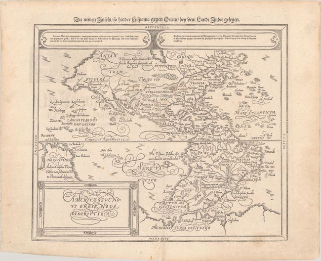
Munster/Petri
Americae sive Novi Orbis, Nova Descriptio, 1614
Size: 14.3 x 12.1 inches (36.3 x 30.7 cm)
Estimate: $1,400 - $1,700
Munster's Take on Ortelius' Classic Map
Unsold
Closed on 11/12/2025
Auction 206, Lot 61
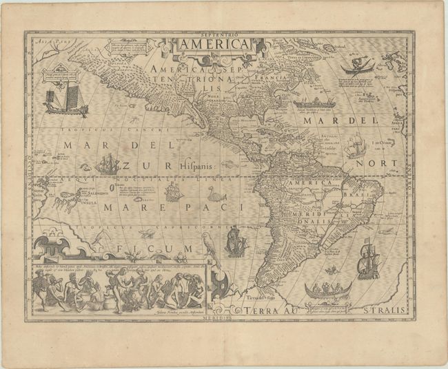
Subject: Western Hemisphere - America
Hondius, Jodocus
America, 1623
Size: 19.9 x 14.8 inches (50.5 x 37.6 cm)
Estimate: $3,750 - $4,500
Hondius' Important Map of the Americas
Unsold
Closed on 11/12/2025
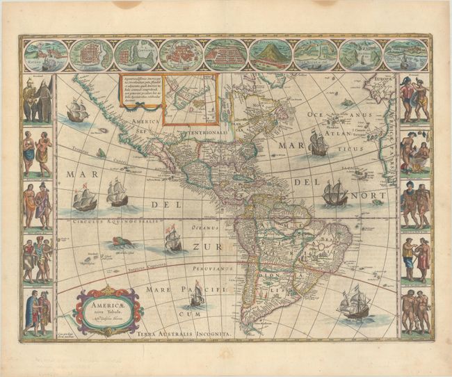
Auction 206, Lot 62
Subject: Western Hemisphere - America
Blaeu, Willem
Americae Nova Tabula, 1663
Size: 21.7 x 16.1 inches (55.1 x 40.9 cm)
Estimate: $4,000 - $4,750
Blaeu's Stunning Carte-a-Figures Map of the Americas
Sold for: $3,000
Closed on 11/12/2025
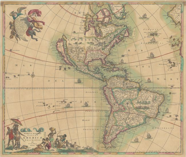
Auction 206, Lot 64
Subject: Western Hemisphere - America
Wit, Frederick de
Novissima et Accuratissima Totius Americae Descriptio, 1680
Size: 22.8 x 19.3 inches (57.9 x 49 cm)
Estimate: $1,100 - $1,400
Classic Map of the Americas with the Island of California in Full Contemporary Color
Sold for: $800
Closed on 11/12/2025
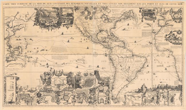
Auction 206, Lot 66
Subject: Western Hemisphere - America
Chatelain, Henry Abraham
[On 4 Sheets] Carte Tres Curieuse de la Mer du Sud, Contenant des Remarques Nouvelles et Tres Utiles non Seulement sur les Ports et Iles de Cette Mer..., 1719
Size: 55.8 x 15.1 inches (141.7 x 38.4 cm)
Estimate: $10,000 - $13,000
Spectacular Wall Map Celebrating the New World
Sold for: $6,000
Closed on 11/12/2025
Auction 206, Lot 75
Subject: Colonial North America
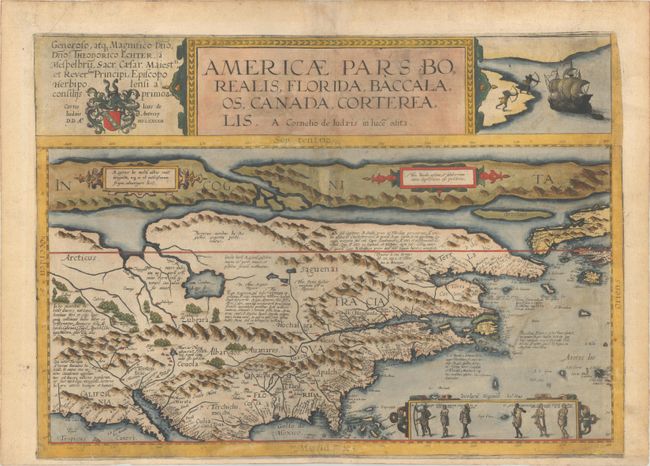
Jode, Cornelis de
Americae Pars Borealis, Florida, Baccalaos, Canada, Corterealis, 1593
Size: 19.9 x 14.3 inches (50.5 x 36.3 cm)
Estimate: $35,000 - $40,000
The Second Printed Map of the North American Continent - Full Contemporary Color
Sold for: $25,000
Closed on 11/12/2025
Auction 206, Lot 76
Subject: Colonial North America
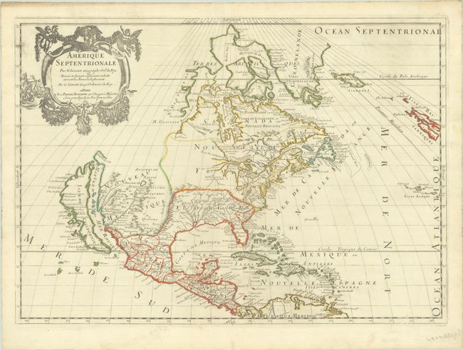
Sanson/Mariette
Amerique Septentrionale par N. Sanson..., 1669
Size: 22 x 15.6 inches (55.9 x 39.6 cm)
Estimate: $1,800 - $2,200
Important Map for Great Lakes Collectors
Sold for: $1,700
Closed on 11/12/2025
Auction 206, Lot 90
Subject: North America
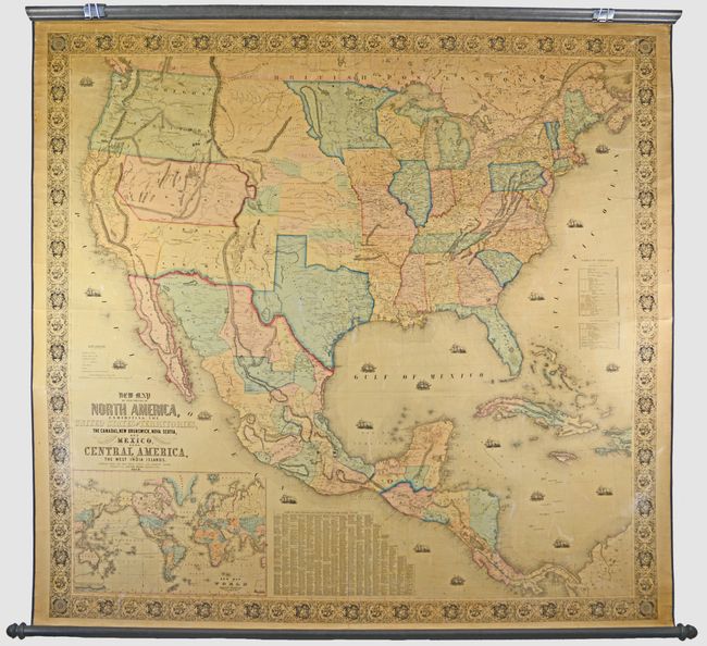
Monk, Jacob
New Map of That Portion of North America, Exhibiting the United States and Territories, the Canadas, New Brunswick, Nova Scotia, and Mexico, Also, Central America, and the West India Islands..., 1852
Size: 59.1 x 56.1 inches (150.1 x 142.5 cm)
Estimate: $1,400 - $1,700
Large Wall Map Featuring an Enlarged Gold Region of California
Sold for: $1,500
Closed on 11/12/2025
Auction 206, Lot 96
Subject: Colonial Eastern North America & West Indies
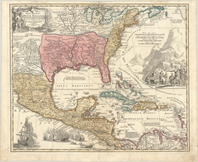
Homann, Johann Baptist
Regni Mexicani seu Novae Hispaniae, Ludovicianae, N. Angliae, Carolinae, Virginiae et Pensylvaniae, nec non Insularum Archipelagi Mexicani in America Septentrionali Accurata Tabula, 1720
Size: 22.8 x 18.9 inches (57.9 x 48 cm)
Estimate: $1,600 - $1,900
Homann's Decorative Map of Colonial America in the Era of the War of the Spanish Succession
Sold for: $1,200
Closed on 11/12/2025
Auction 206, Lot 104
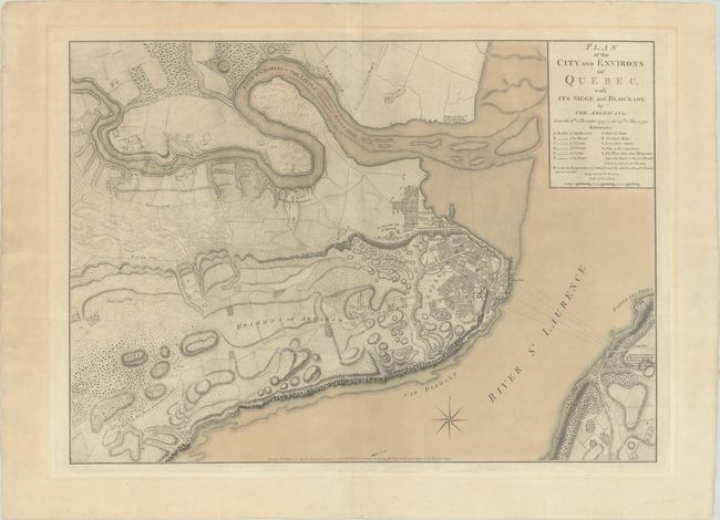
Subject: Quebec City, Canada
Faden, William
Plan of the City and Environs of Quebec, with Its Siege and Blockade by the Americans, from the 8th of December 1775 to the 13th of May 1776, 1776
Size: 24.3 x 17.4 inches (61.7 x 44.2 cm)
Estimate: $4,000 - $4,750
Important Revolutionary War Plan of Battle of Quebec in Contemporary Color
Sold for: $2,500
Closed on 11/12/2025
Auction 206, Lot 108
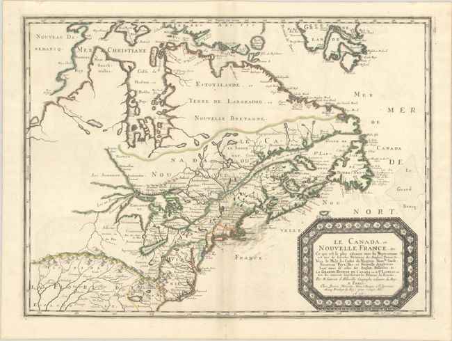
Subject: Colonial Eastern United States & Canada
Sanson/Mariette
Le Canada, ou Nouvelle France, &c. ce qui est le Plus Advance Vers le Septentrion est Tire de Diverses Relations des Anglois, Danois, &c..., 1656
Size: 21.4 x 15.9 inches (54.4 x 40.4 cm)
Estimate: $4,000 - $4,750
Keystone Map for Great Lakes Collections
Unsold
Closed on 11/12/2025
Auction 206, Lot 109
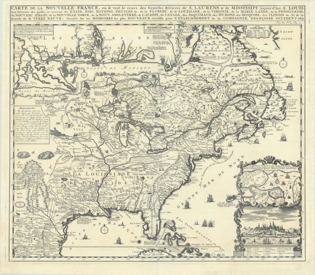
Subject: Colonial Eastern United States & Canada
Chatelain, Henry Abraham
Carte de la Nouvelle France, ou se Voit le Cours des Grandes Rivieres de S. Laurens & de Mississipi Aujour d'hui S. Louis, aux Environs des-quelles se Trouvent les Etats, Pais, Nations, Peuples, &c. de la Floride, de la Louisiane, de la Virginie..., 1719
Size: 19.3 x 16.7 inches (49 x 42.4 cm)
Estimate: $2,000 - $2,300
One of the Most Informative 18th Century Maps of the French Possessions in North America
Unsold
Closed on 11/12/2025
Auction 206, Lot 110
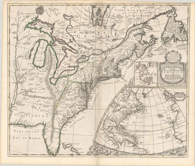
Subject: Colonial Eastern United States & Canada
Senex, John
A New Map of the English Empire in America viz Virginia Maryland Carolina Pennsylvania New York New Iarsey New England Newfoundland New France &c., 1719
Size: 22.9 x 19.6 inches (58.2 x 49.8 cm)
Estimate: $2,400 - $3,000
Senex's Important Map of the American Colonies
Unsold
Closed on 11/12/2025
Auction 206, Lot 111
Subject: Colonial Eastern United States & Canada
Homann, Johann Baptist
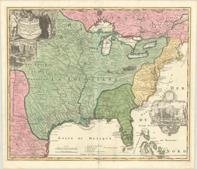
Amplissimae Regionis Mississipi seu Provinciae Ludovicianae a R.P. Ludovico Hennepin Francisc Miss. in America Septentrionali Anno 1687..., 1720
Size: 22.8 x 19.2 inches (57.9 x 48.8 cm)
Estimate: $2,200 - $2,500
Striking Map of Colonial America with Bison Vignette
Sold for: $2,500
Closed on 11/12/2025
Auction 206, Lot 115
Subject: Colonial Eastern United States & Canada
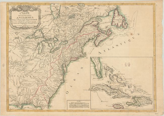
Imbert, J. Leopold
Carte des Possessions Angloises dans l'Amerique Septentrionale pour Servir d'Intelligence a la Guerre Presente Traduite de l'Anglois, 1777
Size: 29 x 21.3 inches (73.7 x 54.1 cm)
Estimate: $1,800 - $2,200
First Edition of Important Revolutionary War Map
Unsold
Closed on 11/12/2025
Auction 206, Lot 116
Subject: Eastern United States & Canada, Franklin
Crevecoeur, Michel Guillaume De
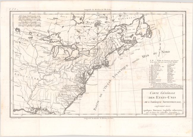
Carte Generale des Etats-Unis de l'Amerique Septentrionale, Renfermant Aussi Quelques Provinces Angloises Adjacentes, pour les Lettres d'un Cultivateur Ameriquain, 1787
Size: 16.9 x 10.3 inches (42.9 x 26.2 cm)
Estimate: $750 - $900
One of the Earliest Maps to Name Franklinia
Sold for: $475
Closed on 11/12/2025
Auction 206, Lot 121
Subject: Colonial Northeastern United States & Canada
Delisle/Covens & Mortier
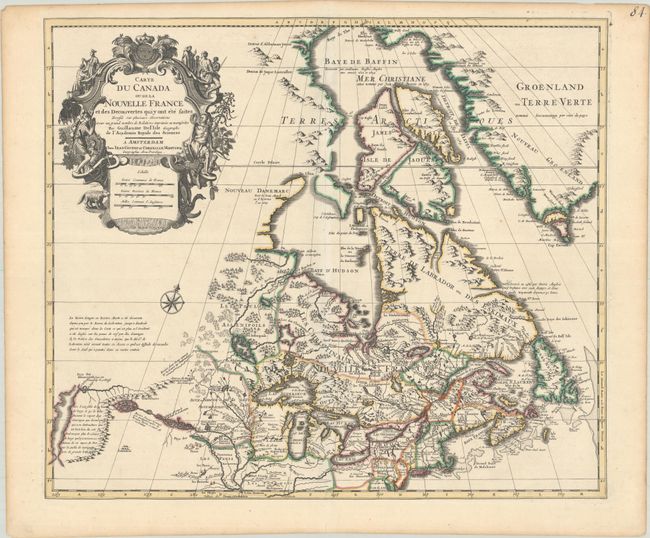
Carte du Canada ou de la Nouvelle France et des Decouvertes qui y ont ete Faites Dressee sur Plusieurs Observations et sur un Grand Nombre de Relations Imprimees ou Manuscrites, 1730
Size: 22.4 x 19.3 inches (56.9 x 49 cm)
Estimate: $1,200 - $1,500
One of the Most Influential Maps of Canada, Great Lakes & Upper Midwest
Sold for: $600
Closed on 11/12/2025
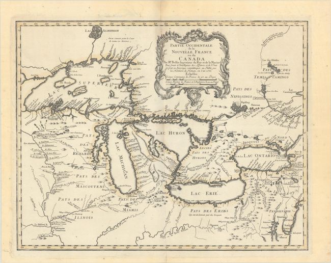
Auction 206, Lot 126
Subject: Colonial Great Lakes
Bellin/Homann Heirs
Partie Occidentale de la Nouvelle France ou du Canada, 1755
Size: 21.3 x 16.8 inches (54.1 x 42.7 cm)
Estimate: $1,500 - $1,800
Influential Map of the Great Lakes
Sold for: $1,000
Closed on 11/12/2025
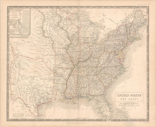
Auction 206, Lot 144
Subject: Eastern United States, Texas
Johnston, W. & A.K.
United States and Texas, 1842
Size: 24.3 x 19.8 inches (61.7 x 50.3 cm)
Estimate: $1,200 - $1,500
Scottish Atlas Map Featuring the Independent Republic of Texas
Sold for: $950
Closed on 11/12/2025
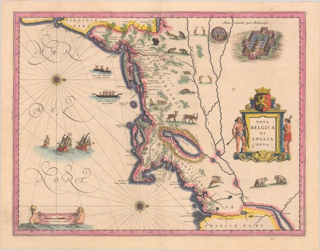
Auction 206, Lot 147
Subject: Colonial New England & Mid-Atlantic United States
Blaeu, (Family)
Nova Belgica et Anglia Nova, 1638
Size: 19.9 x 15.3 inches (50.5 x 38.9 cm)
Estimate: $1,500 - $1,800
Important Map of Colonial New England and the Mid-Atlantic
Unsold
Closed on 11/12/2025
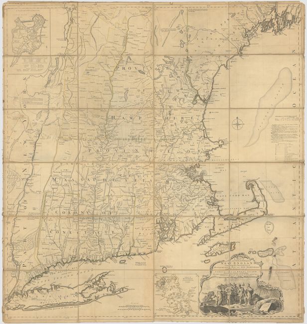
Auction 206, Lot 151
Subject: Colonial New England United States
Jefferys, Thomas
A Map of the Most Inhabited Part of New England, Containing the Provinces of Massachusets Bay and New Hampshire, with the Colonies of Conecticut and Rhode Island, Divided into Counties and Townships..., 1774
Size: 39.3 x 41.4 inches (99.8 x 105.2 cm)
Estimate: $3,000 - $3,750
Jefferys' Influential Map of New England in Contemporary Outline Color
Sold for: $2,000
Closed on 11/12/2025
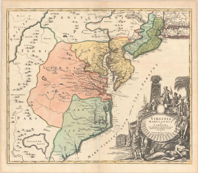
Auction 206, Lot 156
Subject: Colonial Mid-Atlantic United States
Homann, Johann Baptist
Virginia Marylandia et Carolina in America Septentrionali Britannorum Industria Excultae, 1720
Size: 23 x 19.4 inches (58.4 x 49.3 cm)
Estimate: $1,500 - $1,800
Map Created to Promote German Immigration to the New World
Sold for: $1,000
Closed on 11/12/2025
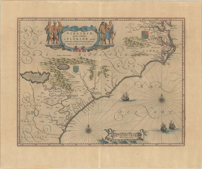
Auction 206, Lot 160
Subject: Colonial Southeastern United States
Blaeu, Willem
Virginiae Partis Australis, et Floridae Partis Orientalis, Interjacentiumq Regionum Nova Descriptio, 1642
Size: 20 x 15.3 inches (50.8 x 38.9 cm)
Estimate: $1,000 - $1,300
Blaeu's Decorative Map of the Southeast
Sold for: $750
Closed on 11/12/2025
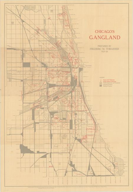
Auction 206, Lot 232
Subject: Chicago, Illinois
[Map with Book] Chicago's Gangland [with] The Gang: A Study of 1,313 Gangs in Chicago, 1926
Size: 17.6 x 25.8 inches (44.7 x 65.5 cm)
Estimate: $1,400 - $1,700
Mapping Organized Crime in 1920s Chicago
Sold for: $1,000
Closed on 11/12/2025
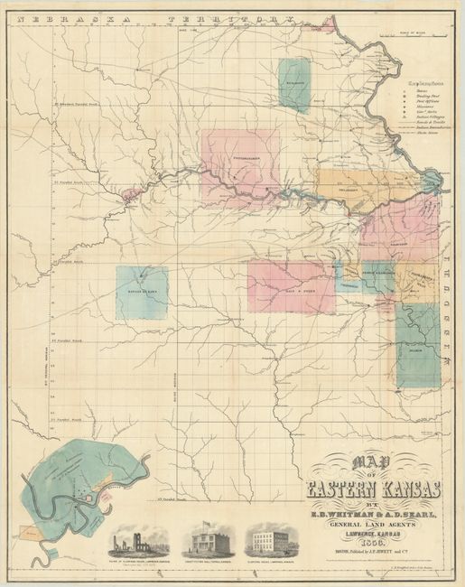
Auction 206, Lot 236
Subject: Eastern Kansas
Jewett & Co., J. P.
Map of Eastern Kansas, 1856
Size: 21.1 x 26.8 inches (53.6 x 68.1 cm)
Estimate: $1,400 - $1,700
Early Map of "Bleeding Kansas"
Unsold
Closed on 11/12/2025
Auction 206, Lot 237
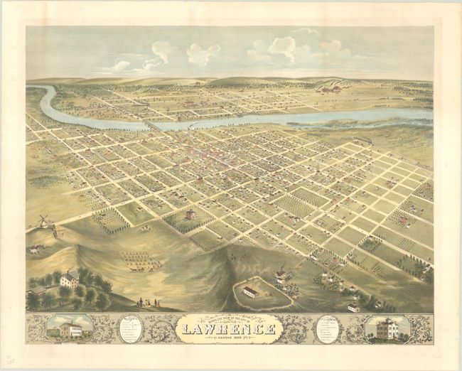
Subject: Lawrence, Kansas
Bird's Eye View of the City of Lawrence Kansas 1869, 1880
Size: 26.6 x 20.8 inches (67.6 x 52.8 cm)
Estimate: $2,000 - $2,500
Rare and Striking Bird's-Eye View of Lawrence
Sold for: $1,000
Closed on 11/12/2025
Auction 206, Lot 270
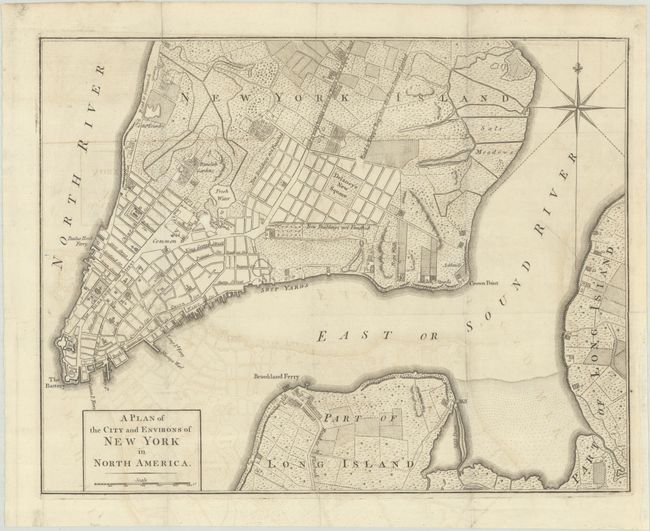
Subject: New York City, New York, Revolutionary War
Anon.
A Plan of the City and Environs of New York in North America, 1776
Size: 14.6 x 11.3 inches (37.1 x 28.7 cm)
Estimate: $1,800 - $2,200
Revolutionary War-Era Plan of New York City
Sold for: $1,300
Closed on 11/12/2025
Auction 206, Lot 276
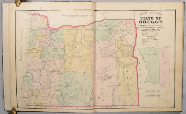
Subject: Oregon, Atlases
Historical Atlas Map of Marion & Linn Counties Oregon..., 1878
Size: 14.5 x 17.6 inches (36.8 x 44.7 cm)
Estimate: $1,400 - $1,700
The First County Atlas for Oregon
Sold for: $800
Closed on 11/12/2025
Auction 206, Lot 367
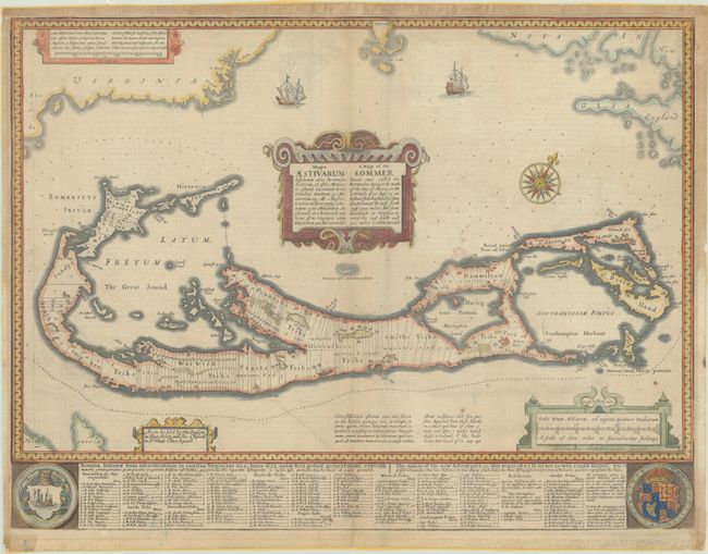
Subject: Bermuda
Speed, John
Mappa Aestivarum Insularum Alias Bermudas Dictarum... / A Mapp of the Sommer Islands Once Called the Bermudas..., 1676
Size: 21.1 x 15.9 inches (53.6 x 40.4 cm)
Estimate: $1,100 - $1,400
Speed's Foundation Map of Bermuda
Unsold
Closed on 11/12/2025
Auction 206, Lot 374
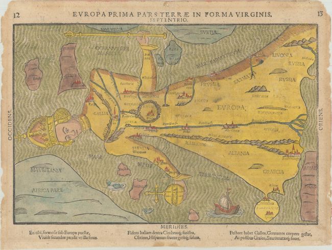
Subject: Europe
Bunting, Heinrich
Europa Prima Pars Terrae in Forma Virginis, 1589
Size: 14.1 x 9.4 inches (35.8 x 23.9 cm)
Estimate: $2,000 - $2,400
Europe Depicted as the Queen of the World
Unsold
Closed on 11/12/2025
Auction 206, Lot 380
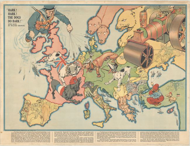
Subject: Europe, World War I
Bacon, G. W. & Company
Hark! Hark! The Dogs Do Bark!, 1914
Size: 27.4 x 19 inches (69.6 x 48.3 cm)
Estimate: $1,400 - $1,700
Rare Political Caricature Pocket Map Depicting European Countries as Dogs
Sold for: $850
Closed on 11/12/2025
71 lots
Page 1 of 2


