Showing Featured Lots(remove filter)
Filtered by Category:Canada(Show All Categories)
Showing results for:Auction 184
Catalog Archive
5 lots
Auction 184, Lot 135
Subject: Colonial Eastern United States & Canada
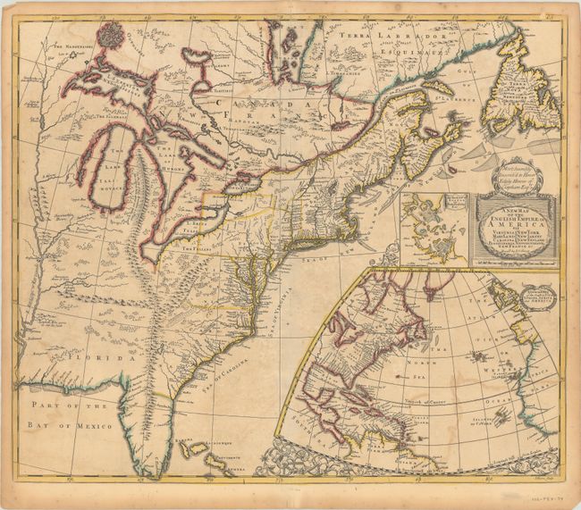
Senex, John
A New Map of the English Empire in America viz Virginia Maryland Carolina Pennsylvania New York New Iarsey New England Newfoundland New France &c. , 1719
Size: 23.1 x 19.7 inches (58.7 x 50 cm)
Estimate: $2,000 - $2,300
Important Map of the American Colonies
Sold for: $1,500
Closed on 9/15/2021
Auction 184, Lot 136
Subject: Colonial Eastern United States & Canada
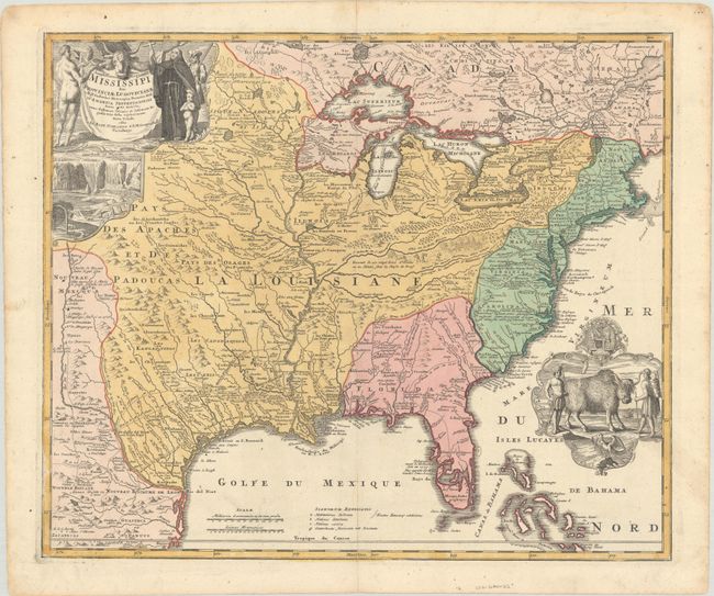
Homann, Johann Baptist
Amplissimae Regionis Mississipi seu Provinciae Ludovicianae a R.P. Ludovico Hennepin Francisc Miss in America Septentrionali Anno 1687..., 1720
Size: 22.8 x 19.1 inches (57.9 x 48.5 cm)
Estimate: $2,400 - $3,000
Striking Map of Colonial America with Bison Vignette
Sold for: $1,300
Closed on 9/15/2021
Auction 184, Lot 137
Subject: Colonial Eastern United States & Canada, Great Lakes
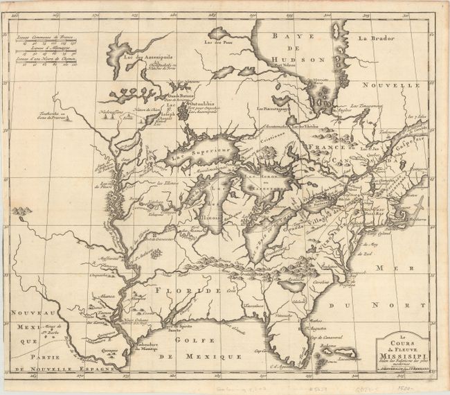
Bernard, Jean Frederic
Le Cours du Fleuve Missisipi, Selon les Relations les Plus Modernes, 1737
Size: 17.3 x 14.6 inches (43.9 x 37.1 cm)
Estimate: $1,600 - $1,900
Scarce and Desirable Early Hennepin Variant
Sold for: $1,200
Closed on 9/15/2021
Auction 184, Lot 141
Subject: Colonial Eastern United States & Canada
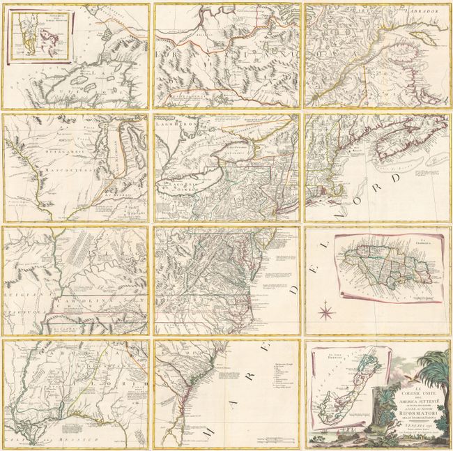
Zatta, Antonio
[On 12 Sheets] Le Colonie Unite dell' America Settentrle. di Nuova Projezione... , 1778
Size: 16.7 x 12.5 inches (42.4 x 31.8 cm)
Estimate: $4,750 - $6,000
Impressive 12-Sheet Map of the New "United Colonies"
Sold for: $4,500
Closed on 9/15/2021
Auction 184, Lot 142
Subject: Eastern United States & Canada
Robert de Vaugondy/Boudet
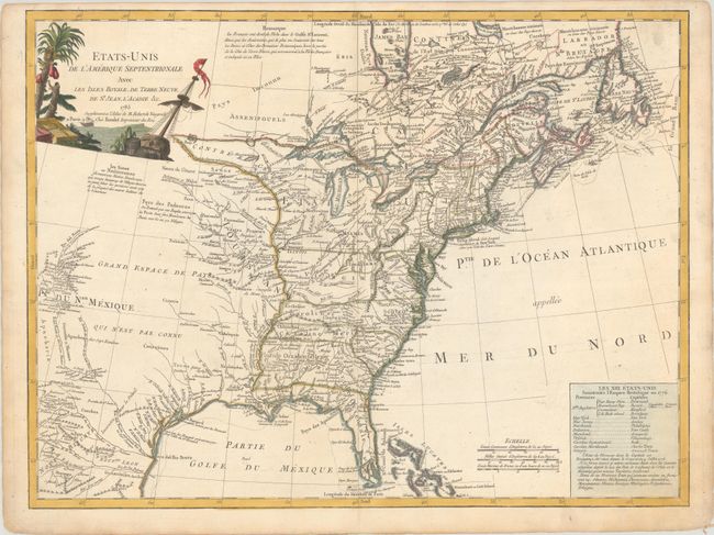
Etats-Unis de l'Amerique Septentrionale avec les Isles Royale, de Terre Neuve, de St. Jean, l'Acadie &c., 1785
Size: 24.6 x 18.6 inches (62.5 x 47.2 cm)
Estimate: $1,100 - $1,400
First Reference to Michigan as a Land Division of the United States
Sold for: $550
Closed on 9/15/2021
5 lots


