Subject: Dallas, Texas
Period: 1937 (published)
Publication:
Color: Printed Color
Size:
20.8 x 254 inches
52.8 x 645.2 cm
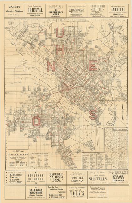
This detailed street map of Dallas was produced by Albert Evans Jr. and covers the area from Love Field south to beyond Cedar Crest Country Club. Individual streets are named and numerous parks, golf courses, country clubs, and cemeteries are identified. Street and bus lines are shown in red overprinting along with large letters indicating neighborhoods, e.g. U for University Park, H for Highland Park, N, S and E for North, South and East, and O for Oak Cliff. Includes an inset map of "Down Town Dallas” along with a numbered index identifying sites shown on the map. Numerous local advertisements are found above and below the map and on verso as well. Self-folding (8.5 x 11").
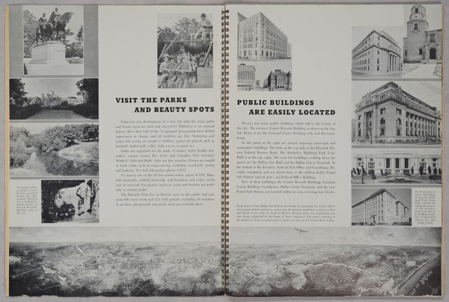
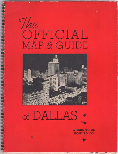
The map is accompanied by The Official Map & Guide of Dallas Where to Go How to Go, which is filled with text and illustrations about the city. The guide includes a night view of the Dallas skyline on the front wrapper and a small aerial view of the area from Fort Worth to the Gulf of Mexico (17.5 x 3.0"). It also features many full-page advertisements, including 9 with tipped in coupons. Unpaginated with spiral bound stiff wrappers. Accompanied by a separate letter signed by Evans extending a greeting to “a new family in Dallas.”
The map and guide offer an engaging snapshot of life in Dallas in 1937 when its population was only about 300,000. We found no examples for this guide on OCLC and only one example of an 1939 edition.
References:
Condition: B+
The folding map is very good with a bit of faint offsetting and some tiny loss along a couple of folds that are only visible when held to light. Accompanying text is clean and bright with some abrasions along the edges of a few pages. Covers have light wear.


