Subject: World
Period: 1803 (dated)
Publication:
Color: Hand Color
Size:
15 x 10 inches
38.1 x 25.4 cm
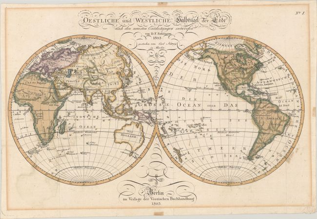
This scarce double-hemisphere world map was published by Vossischen Buchhandlung in Berlin. It includes little inland information aside from region names and major rivers and mountain ranges. In North America, large Louisiana and New Mexico territories appear west of the Mississippi, and the west coast is identified as Neu Albion. The Pacific Northwest and western Canada are labeled Unbekantes Nord America. Central Africa and Australia are notably blank. The coastline of Papua New Guinea is incomplete. The South Sandwich islands are also depicted as a vague conjectural coastline.
References:
Condition: B+
Full contemporary color, issued folding on watermarked paper with light toning and soiling and a few areas of color offsetting. There is show-through of tape stains on verso in the blank margins.


