Subject: Europe, Atlases
Period: 1650 (circa)
Publication:
Color: Hand Color
Size:
7.3 x 9.6 inches
18.5 x 24.4 cm
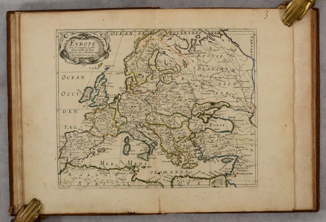
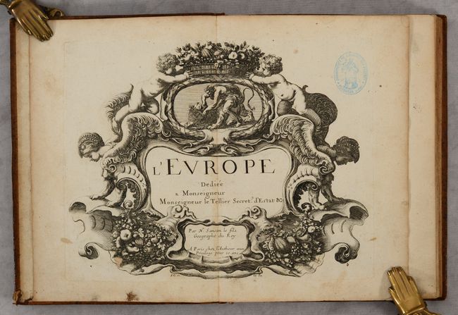
Nicolas Sanson was one of the foremost French cartographers of the 17th century, and is often considered as the "father" of French cartography. By around 1640, the French market in maps and atlases surpassed that of the Dutch, thereby initiating the Golden Age of French cartography. Born in Abbeville in December 1600, Nicolas Sanson was educated by the Jesuits in nearby Amiens. He studied history, and it is believed that he turned to cartography simply as a means to illustrate history. His maps soon came to the attention of Cardinal Richelieu, King Louis XIII's chief minister, and Sanson was asked to tutor the king in geography. Louis XIII later appointed Sanson "Geographe Ordinaire du Roy" (Geographer to the King). This appointment helped both expand and protect Sanson's role in the French map market. After a failed partnership with Melchoir Tavernier, an engraver and dealer of maps in Paris, Sanson began to edit and publish his work on his own. The most significant works that Sanson edited on his own were his quarto atlases of the four continents - L'Europe, L'Asia, L'Afrique, and L'Amerique - which he published beginning in 1647.
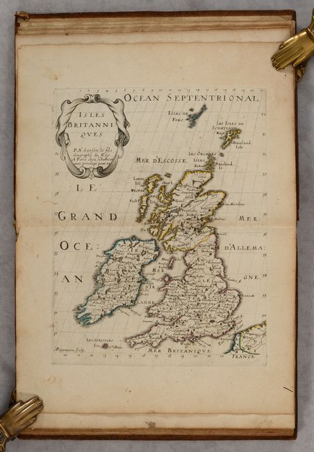
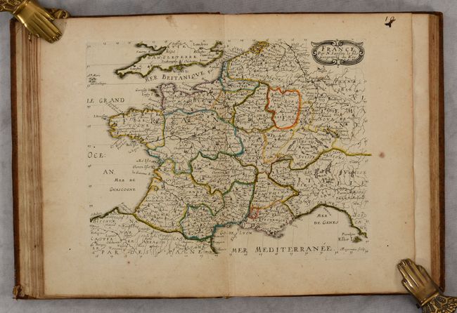
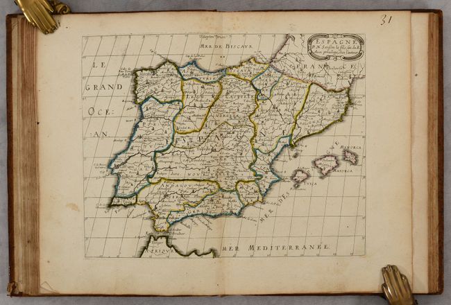
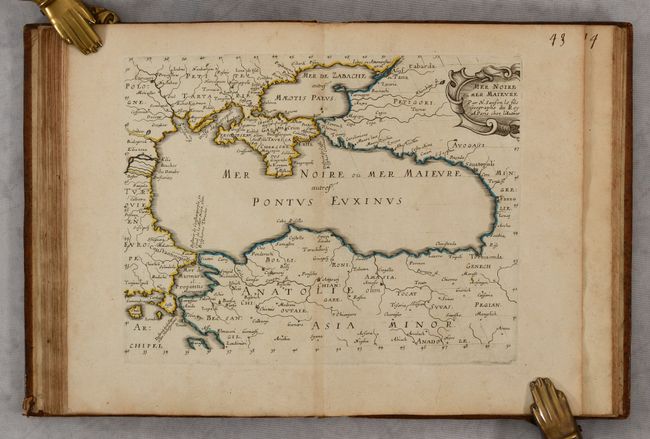
This is Sanson's desirable quarto atlas of Europe, complete with 12 maps accompanied by corresponding text. The maps of Hungary and the Black Sea are not accompanied by text, however there is additional text at the end of the volume on the rivers in Europe. The first edition of this atlas was published in 1648 with maps engraved by A. Peyrounin. This example is nearly identical to the first edition as described by Pastoureau, however the map of Turkey (Anatolie) has been replaced with a map of the Black Sea. It is likely that this example was a second edition, not listed in Pastoureau's cartobibliography, with an identical title page as the first edition but published shortly after 1648. Sanson's quarto atlases were quite popular and were republished several times and also copied by other publishers, often with newly engraved maps. The maps included in this edition are:
A. L'Europe
B. Isles Britanniques
C. Scandinavie ou Sont les Estats de Danemark, de Suede &c.
D. Russie Blanche ou Moscovie
E. France
F. Allemagne
G. Estats de la Couronne de Pologne
H. Espagne
I. Italie
J. Partie de Turquie en Europe
K. Hongrie
L. Mer Noire ou Mer Maievre
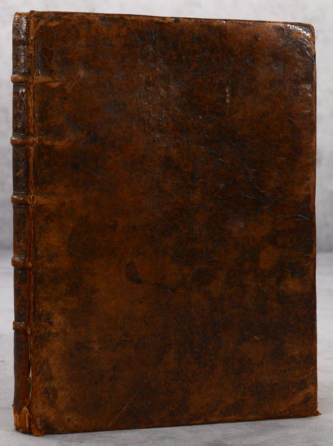
Small quarto. Title page; dedication page; 12 maps with 2 pp. of accompanying text for 10 of the maps (as issued); 10 pp. text on the rivers of Europe; manuscript list of maps at end of volume. Hardbound in full contemporary leather with raised bands and gilt tooling and title on spine.
References: cf. Pastoureau, SANSON VII A.
Condition: B+
The maps have nice impressions with contemporary outline color on lightly toned sheets with very light soiling and occasional spots of foxing. The map of Europe has a short fold separation in the bottom blank margin. Each page of the atlas has been numbered in manuscript ink at top right. There is an old stamp from the "Bibliothèque de l'Hospice des Pretres Vernaison" on the title page, which is a bit more soiled than the maps in the atlas. The covers are worn with a few stains and bumped corners. The spine is heavily worn with cracks and a small chip at bottom.