Catalog Archive
Auction 187, Lot 442

"Nieuwe Pascaart van de Zeekusten van Bretangne en Poictou Beginnende van Ollone tot de Rivier de Loire / Carte Marine des Costes de Bretangne et Poictou Depuis Ollone jus' qua la Rivierre de Loire", Keulen/Vooght

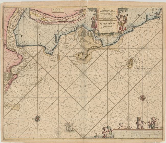
Subject: Western France

Period: 1728 (circa)

Publication:

Color: Hand Color

Size:
23.1 x 19.4 inches
58.7 x 49.3 cm
Download High Resolution Image
(or just click on image to launch the Zoom viewer)

A handsome sea chart covering the Brittany coast from the Loire River to Les Sables-d'Olonne. The map is filled with detail including anchorages and soundings with an inset of the Loire River extending to Nantes. The map is embellished with rhumb lines, compass roses, a warring ship, and two decorative cartouches featuring mermen and a cherub holding an anchor. Dual titles in Dutch and French.

References: Shirley (BL Atlases) M.KEU-3b #62.

Condition: B+

There are short centerfold separations at top and bottom and several minor edge tears that have all been closed on verso with archival materials. Several tiny wormholes along the centerfold are only visible when held to light.

Estimate: $350 - $425

Sold for: $200

Closed on 4/27/2022

Archived