Subject: Atlases
Period: 1845 (published)
Publication:
Color: Printed Color
Size:
14.9 x 18.1 inches
37.8 x 46 cm
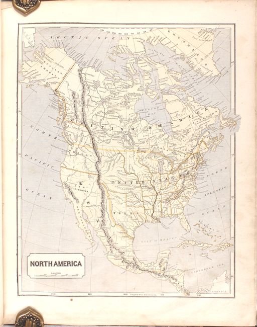
Lovely and complete example of one of the first atlases to employ the wax engraving (cerographic) method to produce its printed color maps. The atlas includes 36 maps related to North America.
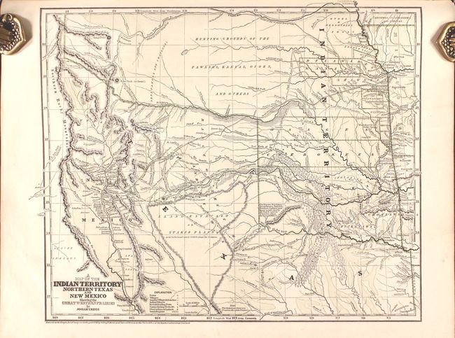
The most remarkable map is Josiah Gregg's "A Map Of The Indian Territory Northern Texas and New Mexico Showing the Great Western Prairies." Wheat describes this as a "cartographic landmark" of the western territories and covers the area from Missouri, Kansas and Louisiana to the Rocky Mountains. The map shows the northern part of the Republic of Texas reaching along the Rockies and has quite a bit of Indian Territory as well. New Mexico is shown, with Santa Fe as the destination of the route of the Santa Fe Caravans. The map has many tracks of explorers and other routes shown, with topography, towns, villages, smaller villages and ranches, Indian villages, forts, trading posts, ruins, springs, and camps. This would have been a very valuable map for anyone considering traveling across the prairie in the mid 19th century. The map was also published in Gregg's Commerce of the Prairies: or the Journal of a Santa Fe Trader.
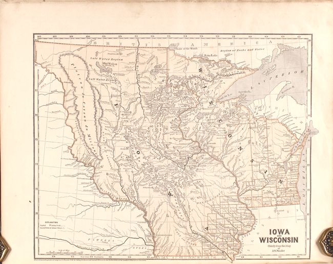
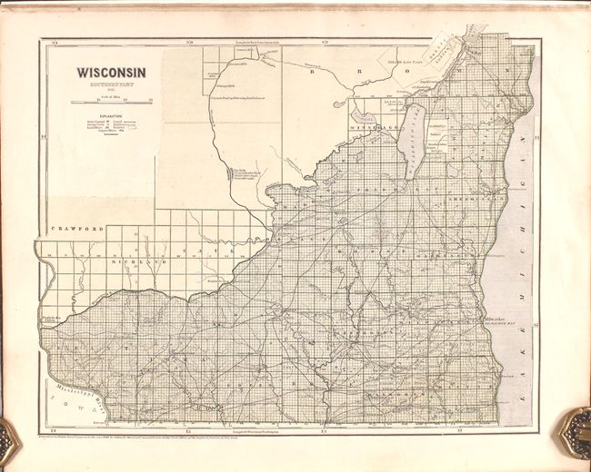
Other interesting maps include two maps of Wisconsin. The first shows Wisconsin and Iowa Territories extending to Canada, and the Missouri River serving as the western boundary of Iowa Territory. A second map of Wisconsin shows only the southern, developed portion. The atlas also includes two maps of New York City.
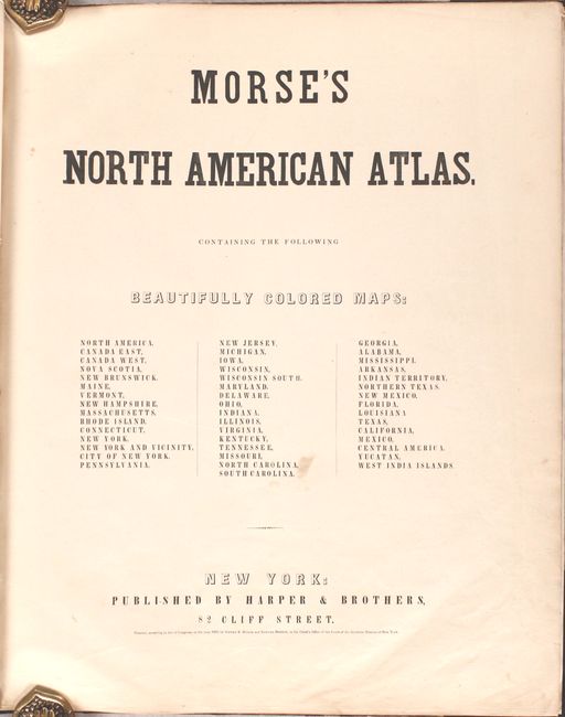
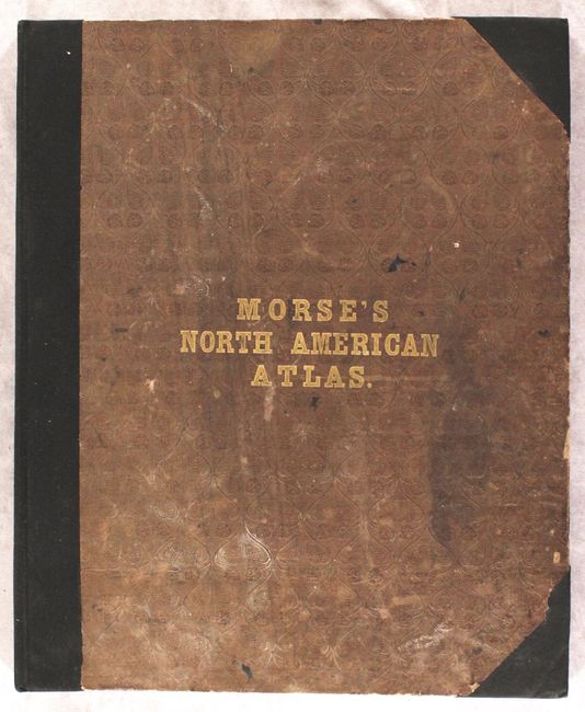
Title page, 36 maps. Maps exactly match list on title page. Rebound with black cloth spine and tips using original brown leather covers with decorative embossing and gilt titling on front cover; new endpapers. A scarce and most desirable atlas in very nice condition. Although the title page is dated 1842, the map of Indian Territory is dated 1844, and the atlas is known to have been published in 1845.
Sidney Morse was a geographer, inventor and journalist. He was the son of the geographer Jedidiah Morse and the brother of Samuel F.B. Morse, inventor of the electric telegraph. Morse & Breese pioneered the cerographic process to produce maps in printed color using a form of lithography.
References: Phillips (Atlases) #1228; Rumsey #2301; Wheat (TMW) #482.
Condition: B+
The maps are mostly clean and bright with light, occasional soiling. There is a dampstain along the bottom edge of most sheets that is usually confined outside of the map images. The new binding is in good condition, with the original covers moderately soiled.