Catalog Archive
Auction 184, Lot 609
NO RESERVE
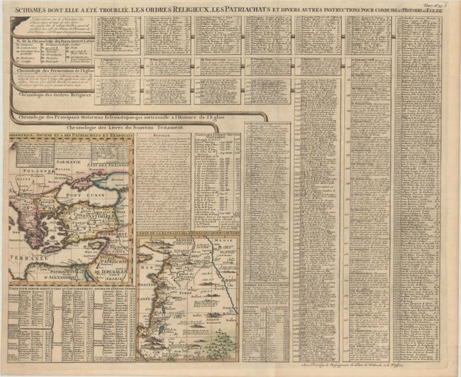
"[Carte pour Servir a l'Intelligence de l'Histoire Eclessiastique & a Faire Connoitre les Persecutions de l'Eglise, les] Schismes dont elle a ete Troublee, les Ordres Religieux, les Patriachats...", Chatelain, Henry Abraham

Subject: Eastern Mediterranean & Middle East
Period: 1720 (circa)
Publication: Atlas Historique
Color: Hand Color
Size:
23.9 x 19.1 inches
60.7 x 48.5 cm
Download High Resolution Image
(or just click on image to launch the Zoom viewer)
(or just click on image to launch the Zoom viewer)

