Subject: Northern France, Paris
Period: 1679-1713 (dated)
Publication:
Color: Hand Color
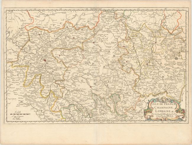
A. Isle de France, Champagne, Lorraine &c., by Nicolas Sanson, dated 1679 (23.1 x 14.6"). This map focuses on the Ile-de-France, Champagne-Ardenne, and Lorraine regions in northern France, extending a bit into Picardie as well. Cities and villages fill the map, with Paris, Reims, Troyes, and Metz prominently depicted. The map is adorned with a decorative cartouche featuring a putto. Engraved by R. Cordier. This is the second state, dated 1679. Condition: A clean and bright example on watermarked paper with contemporary outline color in the map and later color in the cartouche. (A)
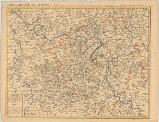
B. A Map of the Provostship and Vicounty of Paris Drawn from a Great Number of Particular Memoirs Made According to the Observations of the Royal Academy of Sciences by G. Delisle, by John Senex, dated 1713 (24.8 x 19.5"). This handsomely engraved map is based on Delisle's Les Environs de Paris... It illustrates the area surrounding Paris, which is depicted by a bird's-eye plan at center. Political boundaries, rivers, forests, and hundreds of towns are identified. At bottom left, there are three distance scales and a note that states that most locations on the map are "Governed according to the Laws of the City of Paris." Sold by John Senex "at the Globe against St. Dunstans Church in Fleetstreet London." Reference: Shirley (BL Atlases) T.SEN-1d #16. Condition: A nice impression with contemporary outline color, issued folding with light toning and offsetting and some fold separations, all of which have been closed with archival materials on verso. (B+)
References:
Condition:
See description above.


