Catalog Archive
Auction 184, Lot 443

Scarce Version of Delisle's Map of Europe

"Europa Delineata Juxta Observationes Excellorum Virorum Academiae Regalis Scientiarum et Nonnullorum Alioru et Juxta Recentismas Annotationes. Per G. de l'Isle...", Wolff, Jeremias
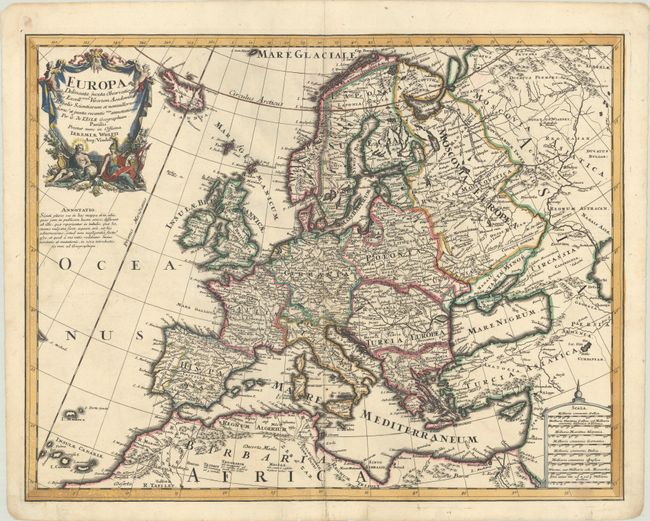
Subject: Europe

Period: 1710 (published)

Publication:

Color: Hand Color

Size:
23.3 x 18.2 inches
59.2 x 46.2 cm
Download High Resolution Image
(or just click on image to launch the Zoom viewer)

This large map of Europe is a very scarce German version of Guillaume Delisle's 1700 atlas map of the continent. Wolff has closely copied both the cartography and the decorative elements from Delisle's map, however has translated into Latin the title, notations, and place names. The map extends to include Iceland and northern Africa. The German Empire dominates all of central Europe, Poland takes in all of northeastern Europe, and the Turkish Empire occupies all of southeastern Europe.

References:

Condition: A

A dark impression on a bright sheet with a Strasbourg Lily watermark, minor soiling, and an archivally repaired centerfold separation at bottom.

Estimate: $550 - $650

Unsold

Closed on 9/15/2021

Archived