Subject: Arizona
Period: 1940-74 (circa)
Publication:
Color: Printed Color
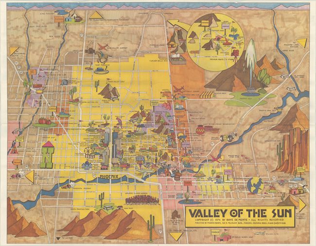
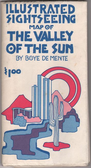
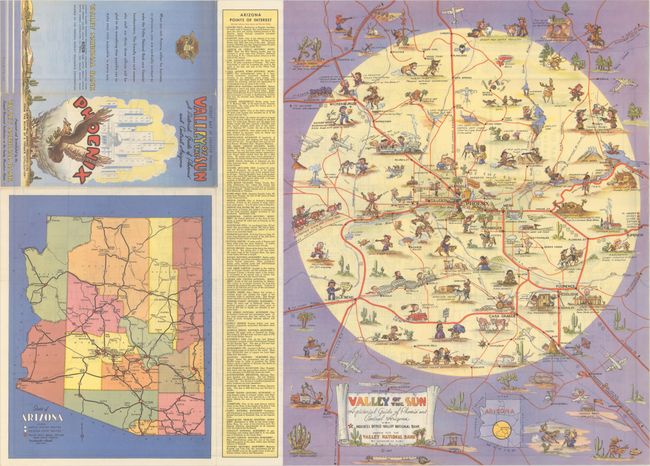
A. Valley of the Sun, by Boye de Mente, dated 1974 (27.6 x 22.1"). A colorful and visually striking pictorial map of the Phoenix region locating many of the important sites and buildings. Related text on verso. Self-folds into pictorial wrappers (3.8 x 7.3"). Condition: On a clean bright sheet with one short edge tear at bottom closed on verso with archival tape.
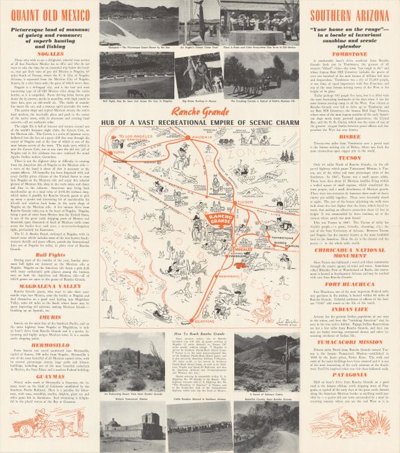
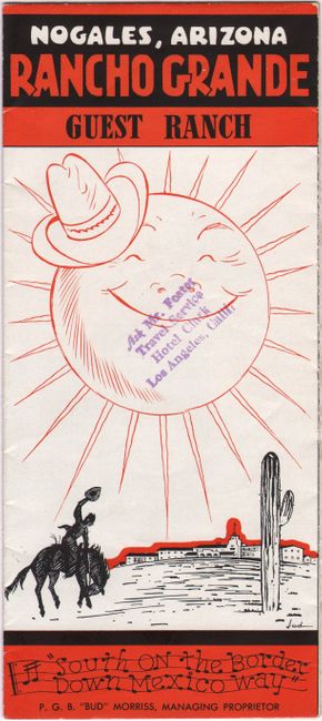
B. Rancho Grande - Hub of a Vast Recreational Empire of Scenic Charm, by Jud Wright, dated 1940 (8.0 x 8.0"). This small map is the centerpiece of a brochure for Rancho Grande in Nogales, Arizona. Straddling the U.S./Mexico border, the map extends from Phoenix and Yuma south to Guaymas, Mexico and is filled with illustrations representative of the region. Surrounded by panels of text and illustrations that continue on verso. Self-folding into pictorial wrappers (4.0 x 9.0"). Condition: A clean example with one tiny split at a fold junction.
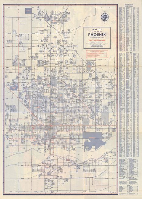
C. Valley of the Sun - A Pictorial Guide of Phoenix and Central Arizona, by George M. Avey, dated 1947 (16.0 x 20.3"). A colorful pictorial map of the Phoenix region with the "Valley of the Sun" highlighted in yellow. Filled with humorous illustrations related to the region and a table of points of interest flanking the map at left. The verso contains the large Map of Greater Phoenix and Surrounding Area by Rand McNally. Self-folding into pictorial wrappers (4.1 x 9.4"). Reference: Rumsey #8706. Condition: A clean example with a couple of tiny splits at the fold junctions.
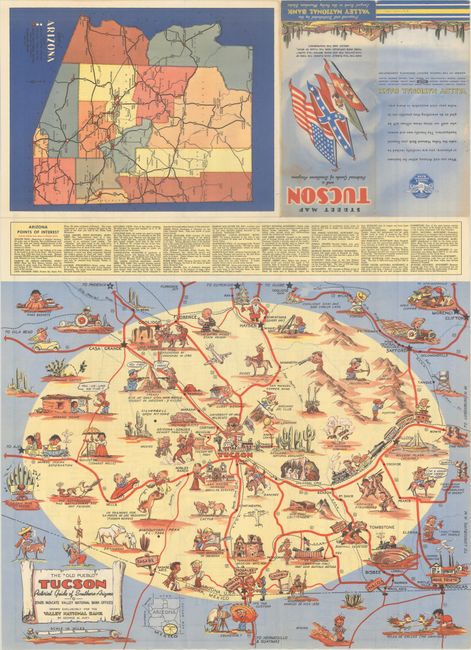
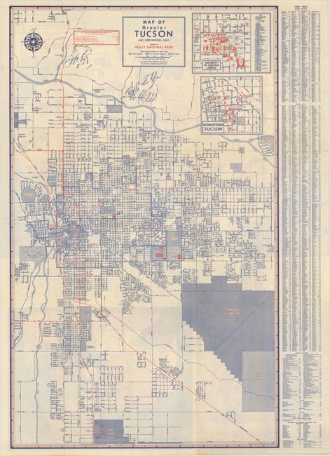
D. The “Old Pueblo” Tucson - Pictorial Guide of Southern Arizona, by George M. Avey, circa 1950 (20.5 x 16.0"). This playful map is similar to the above Avey map but dedicated instead to the Tucson region. Filled with humorous illustrations related to the region and a table of points of interest at top. Drawn for Valley National Bank with stars indicating branch locations. The verso contains the large Map of Greater Tucson by Rand McNally. Self-folding into pictorial wrappers (4.2 x 9.5"). Reference: Rumsey #11525. Condition: A clean example with a few tiny fold separations.
References:
Condition: A
Issued folding. See description above.