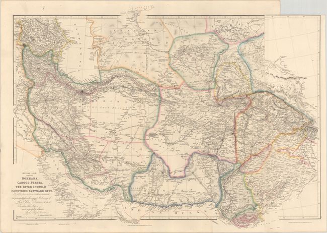
"Central Asia; Comprising Bokhara, Cabool, Persia, the River Indus, & Countries Eastward of It...", Arrowsmith, John
Subject: Central Asia
Period: 1834 (dated)
Publication: London Atlas
Color: Hand Color
Size:
28.8 x 20.9 inches
73.2 x 53.1 cm
This map of Central Asia is filled with both topographical and political information. It extends to include the present-day regions of Iran, Afghanistan, Pakistan, Turkmenistan, Tajikstan, and parts of Uzbekistan and Kyrgyzstan. Captain Sir Alexander Burnes' route to Bombay is noted. Arrowsmith’s London Atlas, first published in 1834, contained the best set of carefully executed maps of the period. The maps were prized for their fine detail and clarity. Printed on two sheets, joined and folded as issued.
References:
Condition: A
Clean and bright with contemporary outline color and very minor marginal soiling.