Subject: Atlases
Period: 1720 (circa)
Publication:
Color: Hand Color
Size:
10.3 x 14.8 inches
26.2 x 37.6 cm
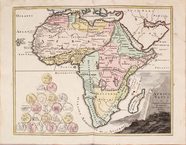
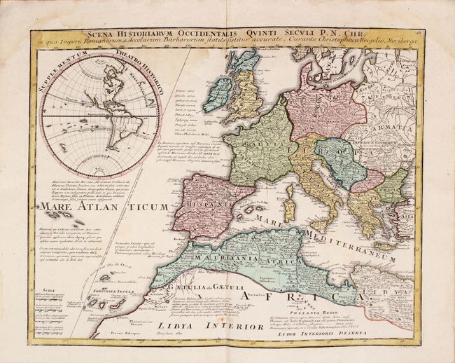
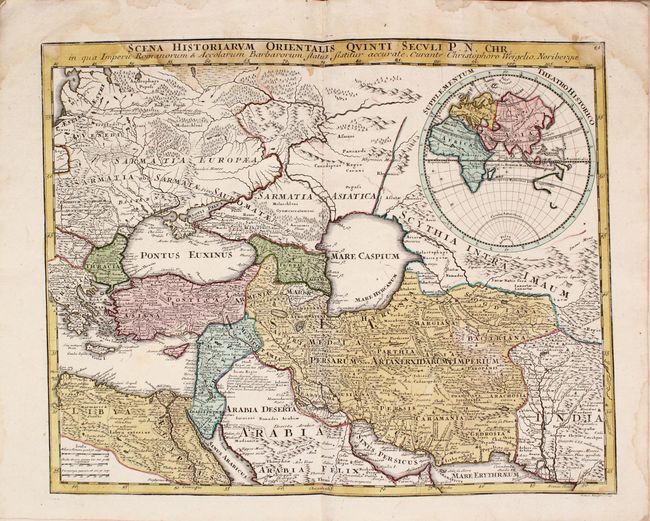
Christoph Weigel (1654-1725) was a goldsmith, engraver, illustrator, and publisher in Nuremberg, Germany, where he produced many maps and atlases of both the ancient and the modern world. Of particular interest is the fact that all his maps were hand-colored immediately after they were printed in his publishing house. The majority of early map publishers issued their maps in black and white with later coloring added by outside artists and colorists. Weigel's Descriptio Orbis Antiqui is an atlas of classical maps, most of which incorporate medallions or coins relating to the region depicted in the map. Included are 38 of the original 44 maps; the map of the Ancient World is completely missing, and 5 maps (Europe, Hispania, and three maps of Gallia), the title page, and the list of maps are essentially perished. The remaining maps are:
1. Insulae Britannicae Antiquae (B+)
2. Britanniae Romanae Tabula (A)
3. Germaniae Antiquae (A)
4. Germania Ptolemaei (A)
5. Vindelicia Rhaetia (A)
6. Italia Antiqua (B+)
7. Gallia Cisalpina et Italia Propria (A)
8. Italia Media (B+)
9. Omnia Romanae (B)
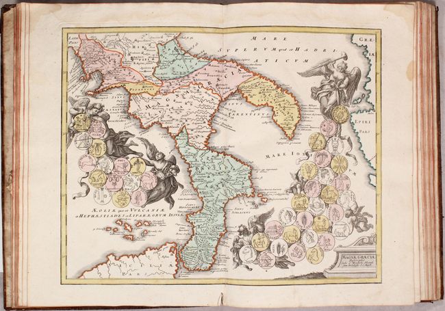
10. Magnae Graeciae (A)
11. Ora Baiana (A)
12. Sicilia Antiqua (B+)
13. Insularum Corsicae, Sardiniae Melitae (A)
14. Regiones Danubianae (A)
15. Thracia Antiqua (B+)
16. Graeciae Septentrionalis Pars (B+)
17. Graeciae Pars Meridionalis (A)
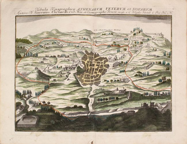
18. Tabula Topographica Athenarum (A)
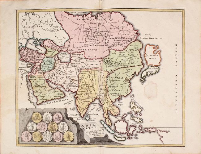
19. Asia Vetus (B)
20. Asia Peninsula (B+)
21. Armenia Utraque (B)
22. Asia intra Maeotium (B)
23. Syriia Propria (B)
24. Palaestinae (B)
25. Facies Palastinae (B)
26. Castra Metatio (B+)
27. Jerusalem (B)
28. Arabiae Veteris (C+)
29. Mesopotamiae (C+)
30. Persia (B)
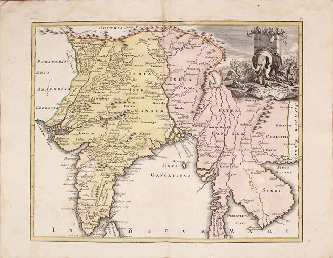
31. India Intra et Extra Gangem (B)
32. Africa Vetus (B)
33. Mauretania (B+)
34. Africa Propria (B)
35. Aegyptus Antiqua (B+)
36. Aegyptus Inferior (B)
37. Scene Historiarum Occidentalis (B)
38. Scene Historiarum Orientalis (B+)
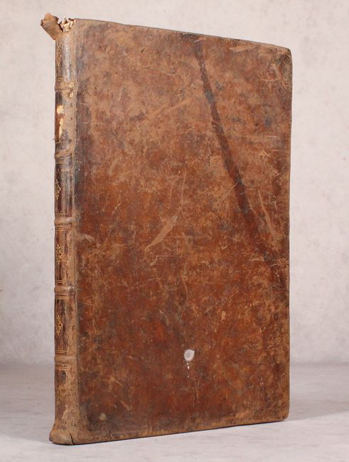
Folio, hardbound in original full leather with raised bands and gilt tooling on spine.
References: Shirley (BL Atlases) T.WEIG-2a.
Condition:
All of the maps have excellent impressions and bold contemporary color. Eleven of the maps are in "A" condition, while another eleven maps are in "B+" condition with minor occasional damp stains or soiling. Fourteen maps are in "B" condition with more significant damp stains and occasional small holes caused by the damp stains. Two maps (Arabiae Veteris and Mesopotamiae) have larger damp stains and holes. (See the description for details on the condition grade for each map.) The covers are well worn and slightly warped, and the hinges are starting. The spine is also worn with some chips at top.