Catalog Archive
Auction 172, Lot 479

"Marchionatus Brandenburgensis in quo sunt Vetus, Media et Nova Marchia et Ducatus Pomeraniae Tabula...", Danckerts, Theodore

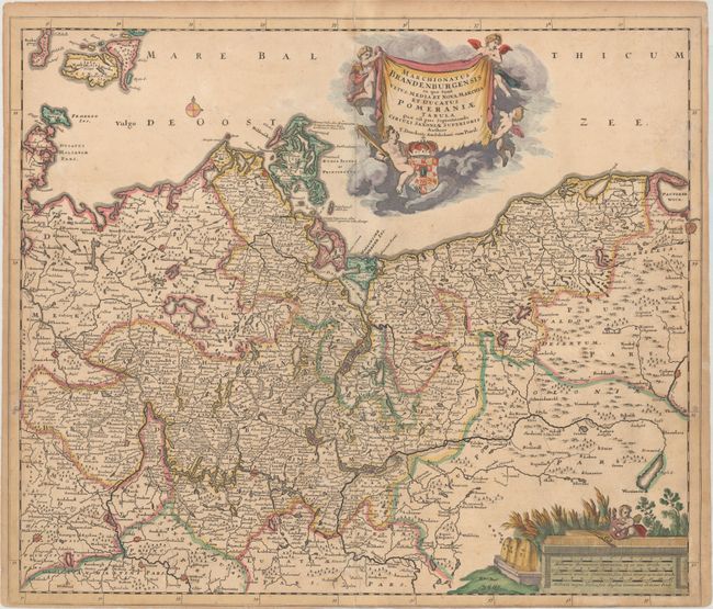
Subject: Germany & Poland

Period: 1690 (circa)

Publication:

Color: Hand Color

Size:
23 x 19.7 inches
58.4 x 50 cm
Download High Resolution Image
(or just click on image to launch the Zoom viewer)

A handsome and detailed map of the historical regions of Brandenburg and Pomerania, straddling the modern-day border between Germany and Poland. The map is fully engraved with towns, political boundaries, rivers, and forests. The map is embellished with a drape-style title cartouche floating in the clouds held aloft by putti, and a distance scale featuring bee hives and a field of wheat.

References:

Condition: B+

Contemporary outline color in the map with later color in the cartouches. There is light soiling and light toning mostly confined to the edges of the sheet. Short centerfold separations at top and bottom have been archivally repaired on verso. Trimmed to the neatline at bottom, as issued.

Estimate: $275 - $350

Unsold

Closed on 4/17/2019

Archived