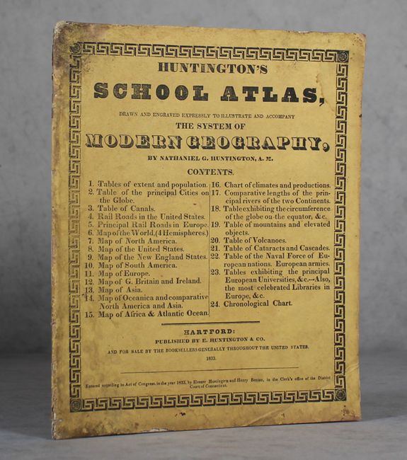
Subject: Atlases
Period: 1833 (published)
Publication:
Color: Hand Color
Size:
9.9 x 11.9 inches
25.1 x 30.2 cm
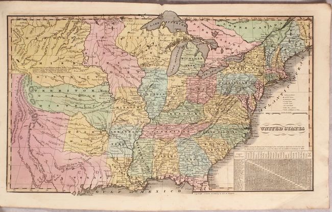
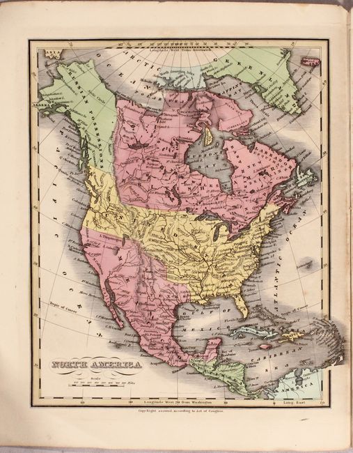
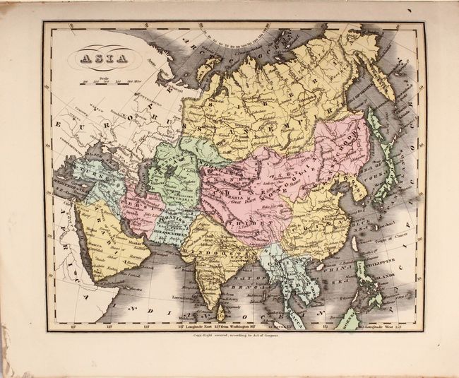
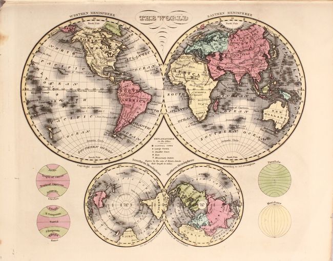
This lovely and uncommon atlas contains 1 double-page map of the United States and 10 single-page maps. The map of the United States stretches to the Rocky Mountains and shows Texas as a part of Mexico. A large Missouri Territory covers the middle of the country and is filled with Indian districts including the Sioux, Mandan, Osage and Ozark tribes. Wisconsin is shown as "attached to Michigan." The map of North America also shows Mexico in control of the Southwest and the U.S. border with Canada extends well into British Columbia, reflecting U.S. interests in the region. The atlas also includes two world maps, South America, Europe, Asia, Africa and Oceania.
References: Phillips (Atlases) #295.
Condition: B+
The maps are mostly clean and bright with occasional light offsetting. The stiff paper wrappers and tables at the beginning and end are damp stained and foxed, but does not impact maps.