Subject: World
Period: 1908 (circa)
Publication:
Color: Printed Color
Size:
46.6 x 36.4 inches
118.4 x 92.5 cm
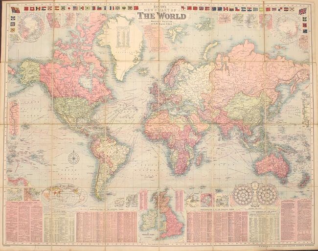
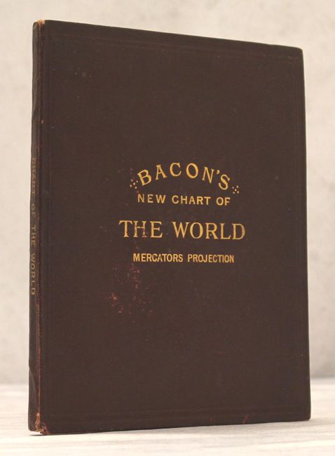
This handsome, large folding map on Mercator’s projection illustrates the world in the first decade of the twentieth century. The map is filled with fascinating information tables, insets of major cities, the Suez canal and the proposed Panama canal, a universal time clock, and the flags of all nations across the top. The transcontinental railways, telegraph lines and steamship routes are traced and a table provides distances and passage times between British ports and “foreign and colonial ports.” The extent of the British Empire (colored pink) and its dominance over world trade is graphically shown. Dissected, mounted on original linen, and folded into cloth covered boards with gold stamp title and marbled-paper endpapers.
References:
Condition: A
Minor soiling mostly in the blank margins. Covers have light wear.