Catalog Archive
Auction 160, Lot 101

"Charte von Nord-America zur Erlauterung des Systems der Winde und Stromungen", Weimar Geographisches Institut

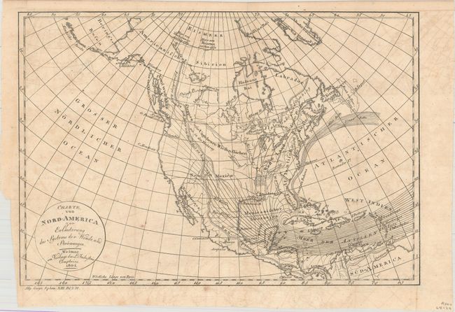
Subject: North America

Period: 1804 (dated)

Publication: Allgemeine Geographische Ephemeriden

Color: Black & White

Size:
12.9 x 8.8 inches
32.8 x 22.4 cm
Download High Resolution Image
(or just click on image to launch the Zoom viewer)

This is the German edition of C.F. Volney's map of North America showing the Gulf Stream and prevailing winds. This is one of the earliest German maps to focus on the Gulf Stream, which is labeled Canal von Bahama. The Gulf Stream was continually remapped as more voyages were taken, and thus this map shows the Altes Bette (old bed, or ancient bed) and the Neues Bette (new bed). Two notes in northern Canada indicate the discoveries of Alexander Mackenzie and Samuel Hearne, and a note that stretches from Canada through the U.S. indicates "plains, or massive expanses of meadows like in Tartary." In Central America, Honduras is named Mosquitos.

References: Howes #V141.

Condition: B+

Issued folding with light offsetting and a few small spots.

Estimate: $120 - $150

Sold for: $80

Closed on 11/16/2016

Archived